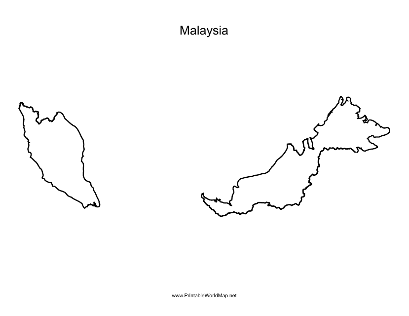
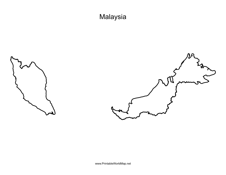
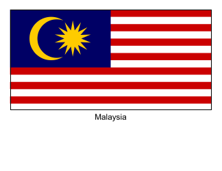
Malaysia Map Template
The Malaysia Map Template is a document used to create visual representations of the geographic boundaries and features of Malaysia. It is commonly used for educational, informational, and presentation purposes.
FAQ
Q: What is a Malaysia Map Template used for?
A: A Malaysia Map Template is often used for educational or business purposes, such as creating presentations, reports, or visual representations of data related to Malaysia.
Q: Are there different types of Malaysia Map Templates available?
A: Yes, there are various types of Malaysia Map Templates available, including ones showing the political boundaries, cities, or geographical features of Malaysia.
Q: Can I customize a Malaysia Map Template?
A: Yes, you can customize a Malaysia Map Template by adding or removing elements, changing colors or styles, and inserting your own data or labels.
