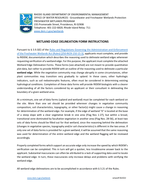
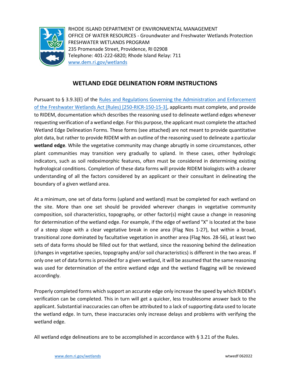
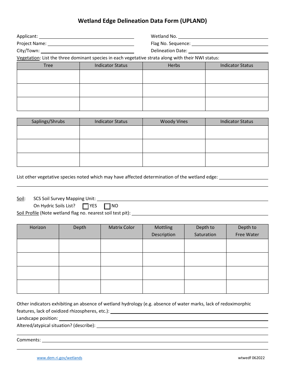
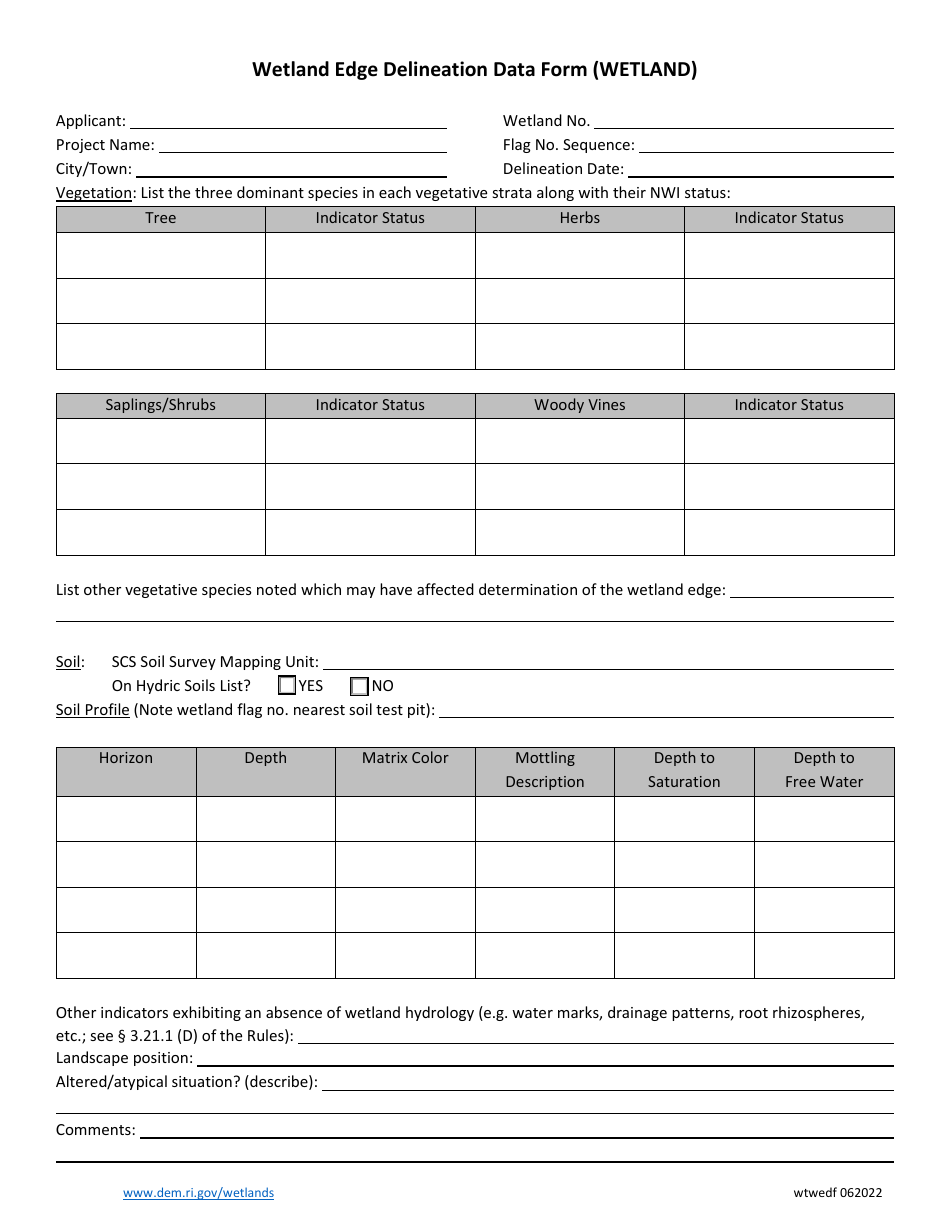
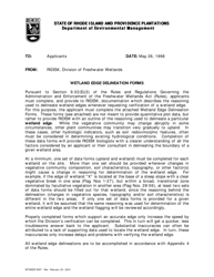
Wetland Edge Delineation Data Form (Upland) - Rhode Island
Wetland Edge Delineation Data Form (Upland) is a legal document that was released by the Rhode Island Department of Environmental Management - a government authority operating within Rhode Island.
FAQ
Q: What is the Wetland Edge Delineation Data Form?
A: The Wetland Edge Delineation Data Form is a form used in Rhode Island to document and assess the boundaries of wetland areas.
Q: What is the purpose of the form?
A: The form is used to collect data on the boundaries of wetland areas in order to better understand and manage these important ecosystems.
Q: Who is responsible for filling out the form?
A: The form is typically filled out by trained professionals, such as wetland scientists or environmental consultants.
Q: What information is included in the form?
A: The form includes information about the location, size, and characteristics of the wetland area, as well as any adjacent upland areas.
Q: Why is wetland edge delineation important?
A: Wetland edge delineation is important for identifying and protecting wetland areas, which provide valuable ecological services and wildlife habitat.
Form Details:
- Released on June 1, 2022;
- The latest edition currently provided by the Rhode Island Department of Environmental Management;
- Ready to use and print;
- Easy to customize;
- Compatible with most PDF-viewing applications;
- Fill out the form in our online filing application.
Download a fillable version of the form by clicking the link below or browse more documents and templates provided by the Rhode Island Department of Environmental Management.
