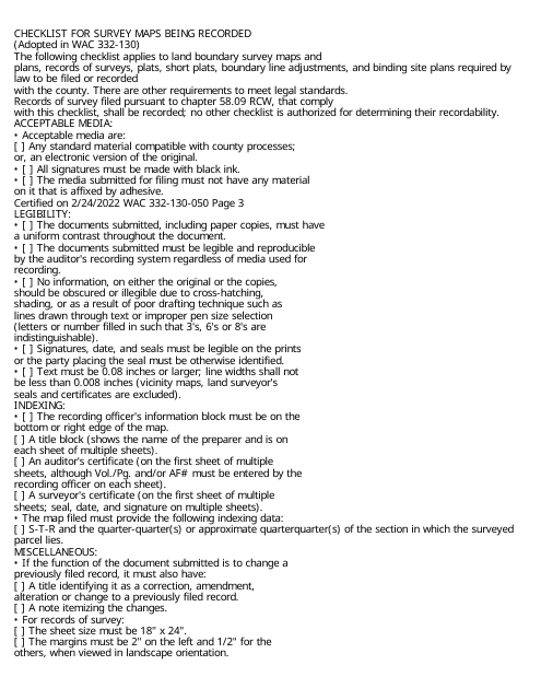
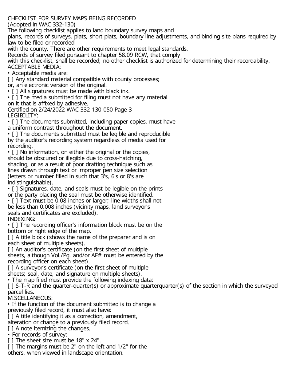
Checklist for Survey Maps Being Recorded - Washington
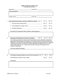
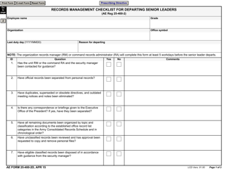
Checklist for Survey Maps Being Recorded is a legal document that was released by the Washington State Department of Natural Resources - a government authority operating within Washington.
FAQ
Q: What is a survey map?
A: A survey map is a map that shows the boundaries and features of a parcel of land.
Q: Why are survey maps recorded?
A: Survey maps are recorded to establish legal boundaries and ownership of land.
Q: What is the purpose of a checklist for survey maps being recorded?
A: The checklist ensures that all necessary information and requirements are met before a survey map is recorded.
Q: What information should be included on a survey map?
A: A survey map should include accurate measurements, information on boundaries, and any features or improvements on the land.
Q: Who is responsible for preparing a survey map?
A: A licensed land surveyor is responsible for preparing a survey map.
Q: Are there any specific requirements for survey maps being recorded in Washington?
A: Yes, there are specific requirements that must be met according to the laws and regulations of Washington state.
Q: What are some common requirements for survey maps in Washington?
A: Common requirements may include a proper legal description, a certification by the surveyor, and adherence to the Washington State Coordinate System.
Form Details:
- The latest edition currently provided by the Washington State Department of Natural Resources;
- Ready to use and print;
- Easy to customize;
- Compatible with most PDF-viewing applications;
- Fill out the form in our online filing application.
Download a printable version of the form by clicking the link below or browse more documents and templates provided by the Washington State Department of Natural Resources.
