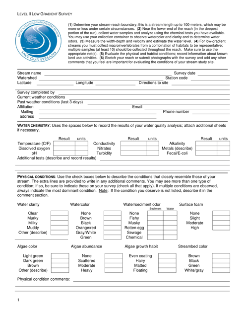
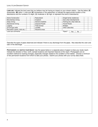
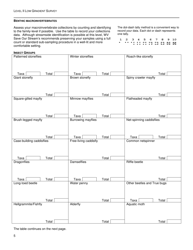
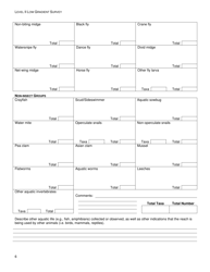
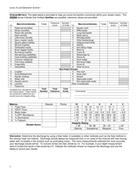
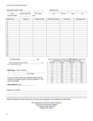
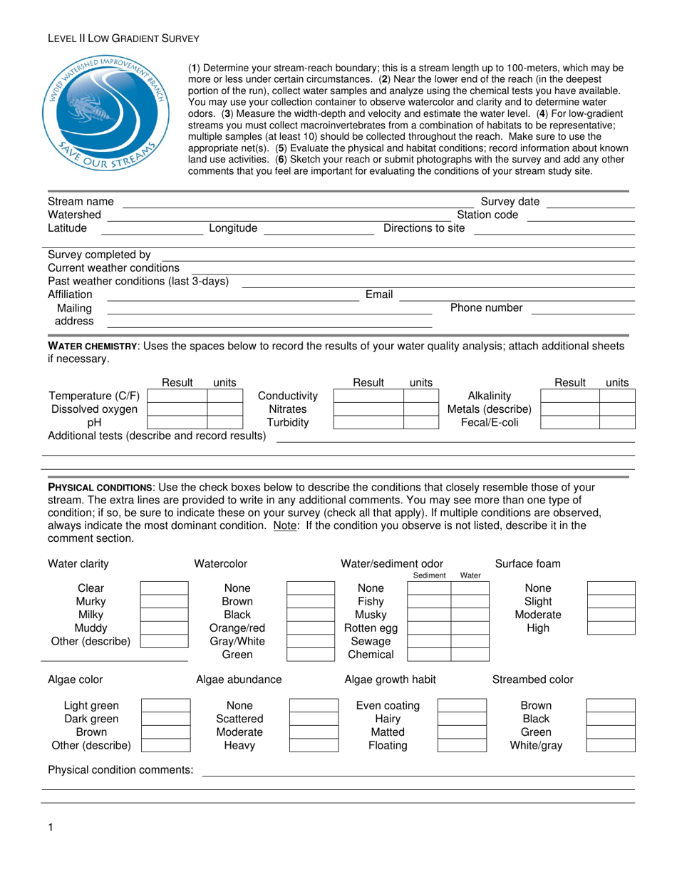
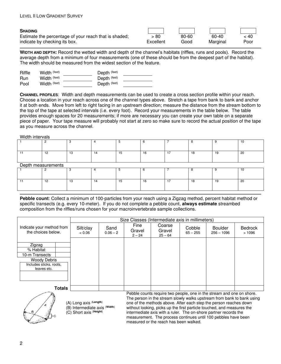
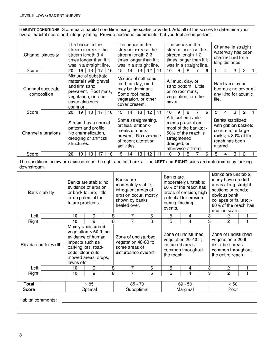
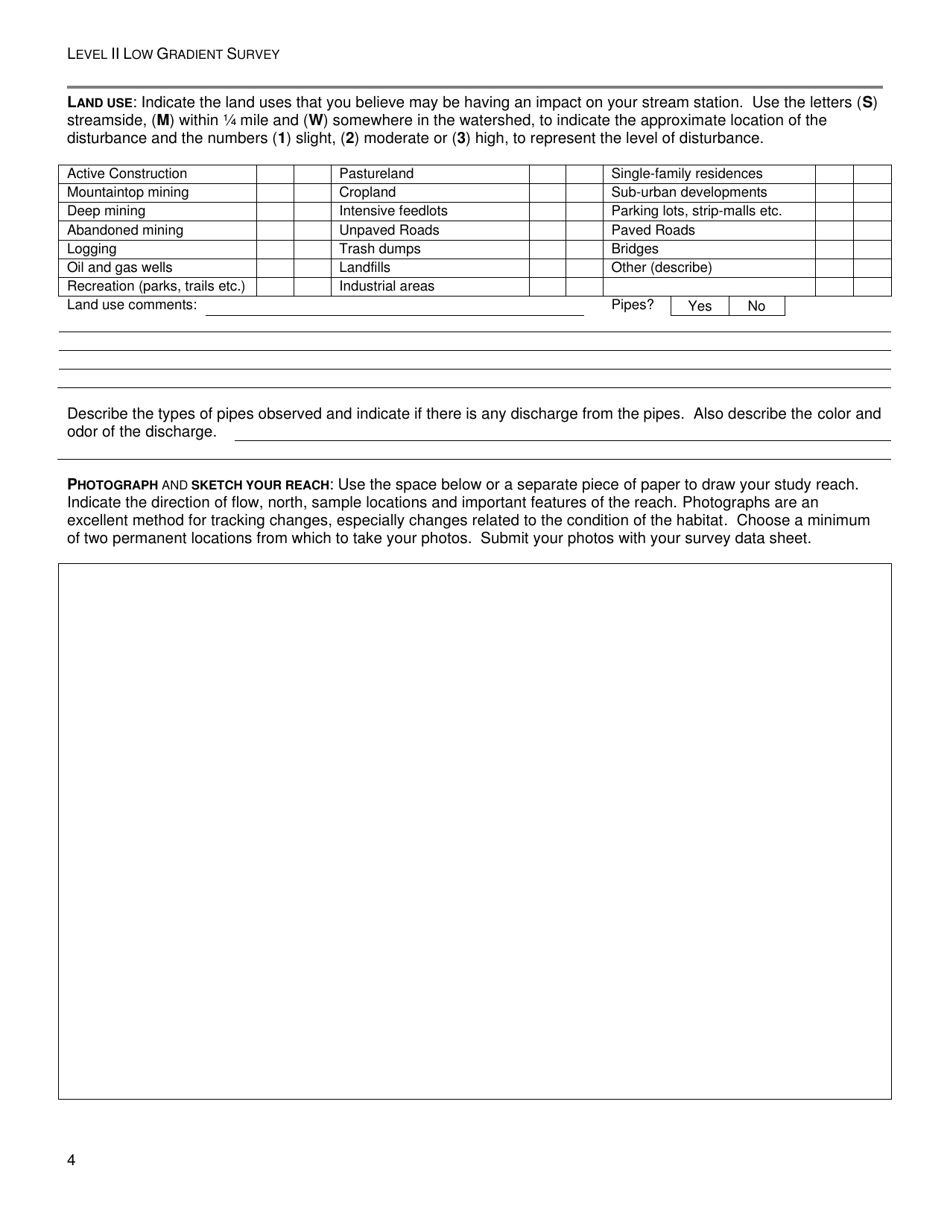
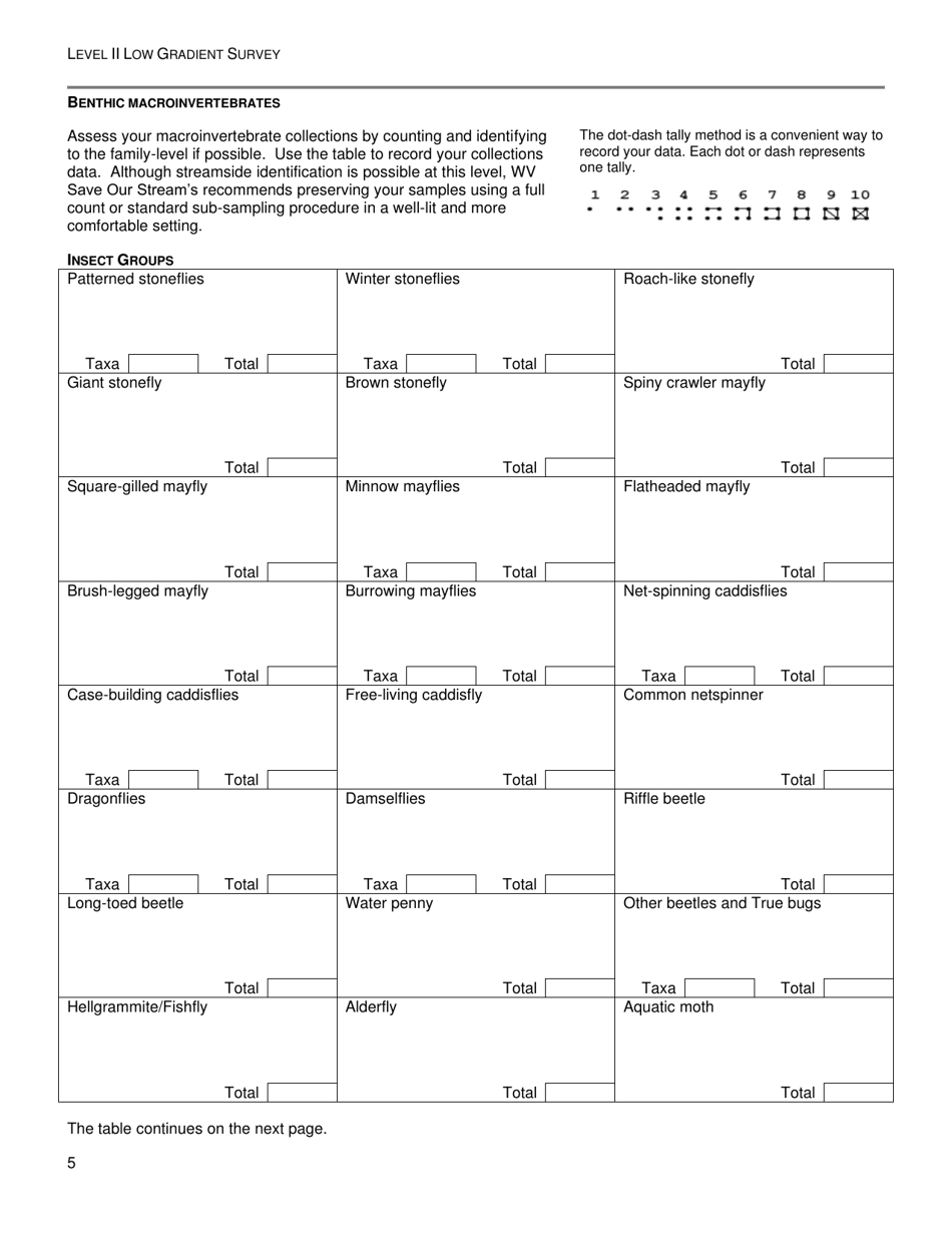
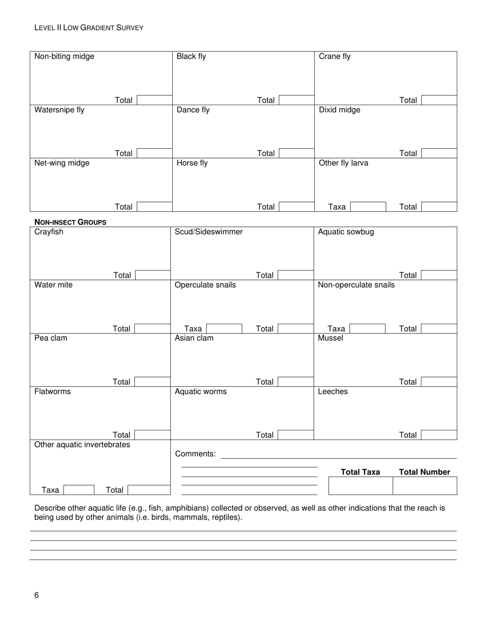
Level II Low Gradient Survey - West Virginia
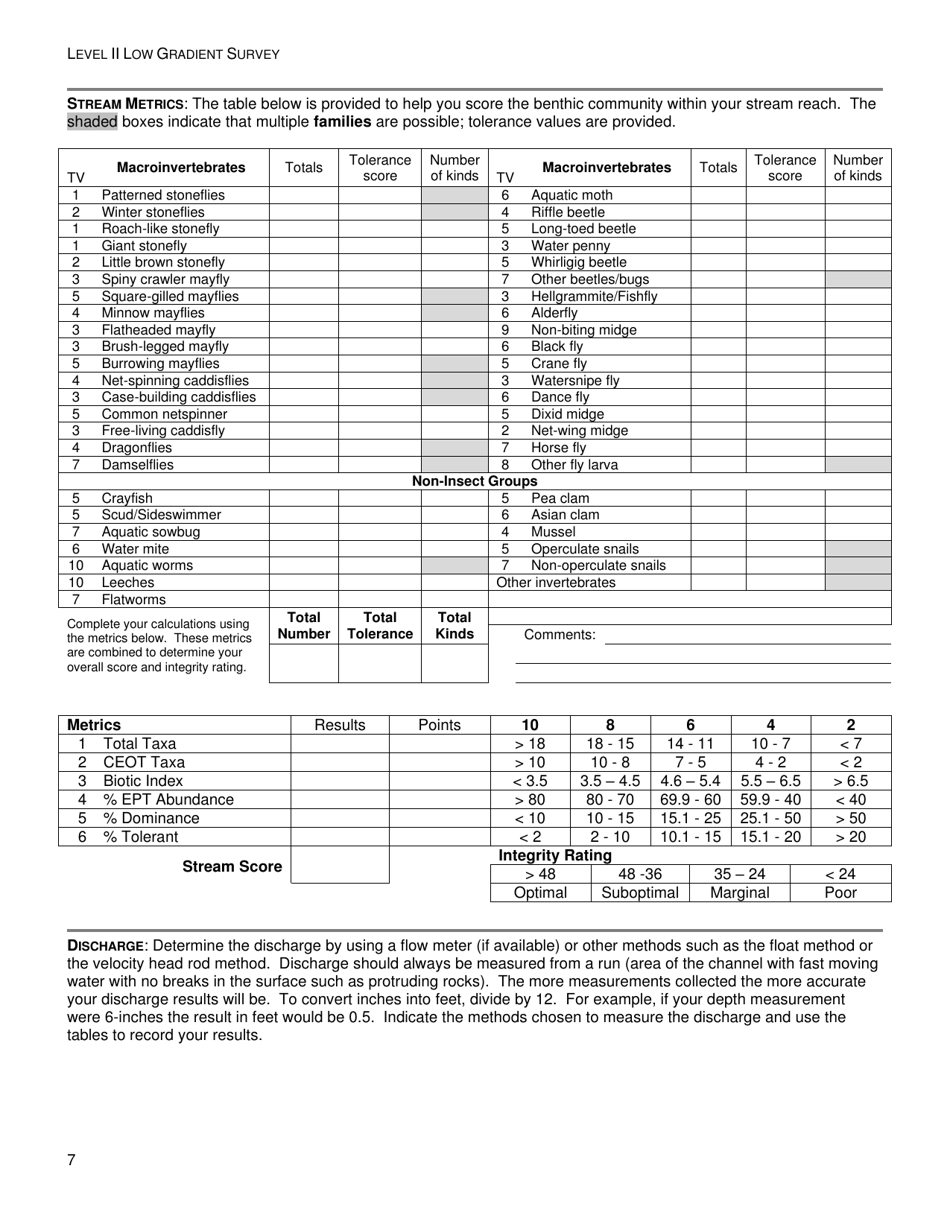
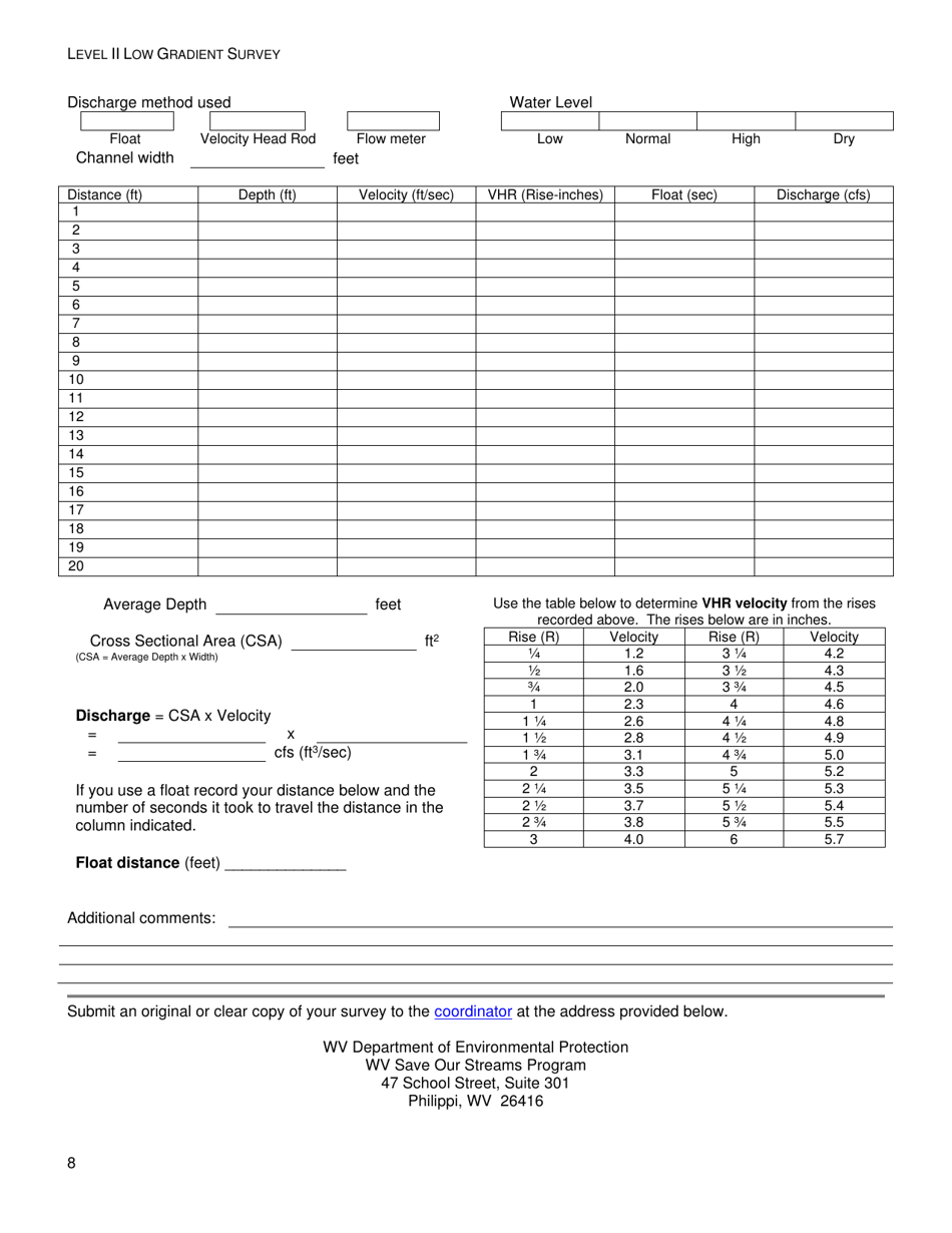
Level II Low Gradient Survey is a legal document that was released by the West Virginia Department of Environmental Protection - a government authority operating within West Virginia.
FAQ
Q: What is a Level II Low Gradient Survey?
A: A Level II Low Gradient Survey is an assessment of the land's elevation and slope in West Virginia.
Q: Why is a Level II Low Gradient Survey conducted?
A: A Level II Low Gradient Survey is conducted to determine the topography of the land, specifically focusing on areas with low slopes.
Q: What is the purpose of a Level II Low Gradient Survey?
A: The purpose of a Level II Low Gradient Survey is to identify suitable areas for development, particularly for infrastructure or construction projects.
Q: Who typically conducts a Level II Low Gradient Survey?
A: A Level II Low Gradient Survey is typically conducted by licensed surveyors or engineering firms with expertise in topography.
Q: What are the benefits of a Level II Low Gradient Survey?
A: A Level II Low Gradient Survey helps in minimizing construction costs, assessing potential flood risks, and planning infrastructure development efficiently.
Form Details:
- The latest edition currently provided by the West Virginia Department of Environmental Protection;
- Ready to use and print;
- Easy to customize;
- Compatible with most PDF-viewing applications;
- Fill out the form in our online filing application.
Download a printable version of the form by clicking the link below or browse more documents and templates provided by the West Virginia Department of Environmental Protection.
