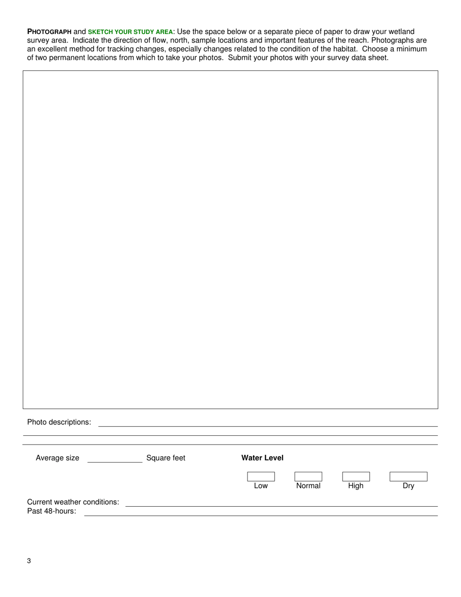
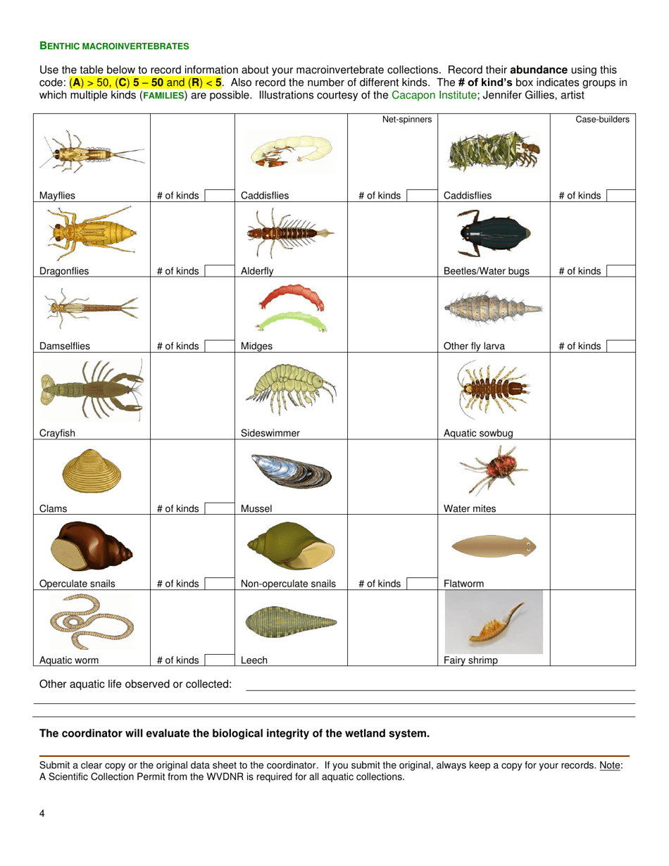
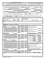
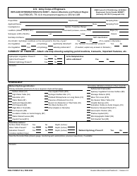
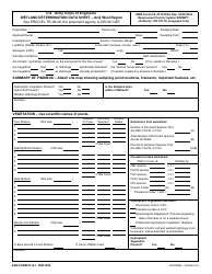
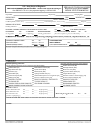
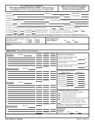
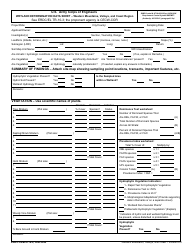
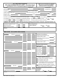
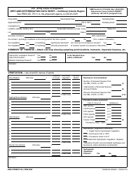
Wetland Survey Data Sheet - West Virginia
Wetland Survey Data Sheet is a legal document that was released by the West Virginia Department of Environmental Protection - a government authority operating within West Virginia.
FAQ
Q: What is a wetland survey data sheet?
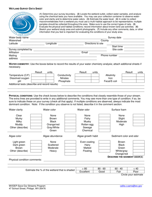
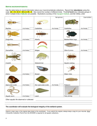
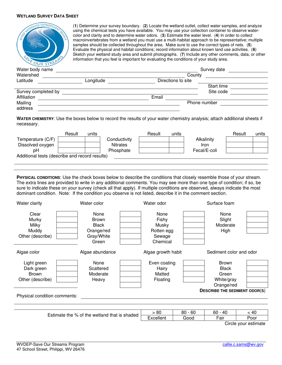
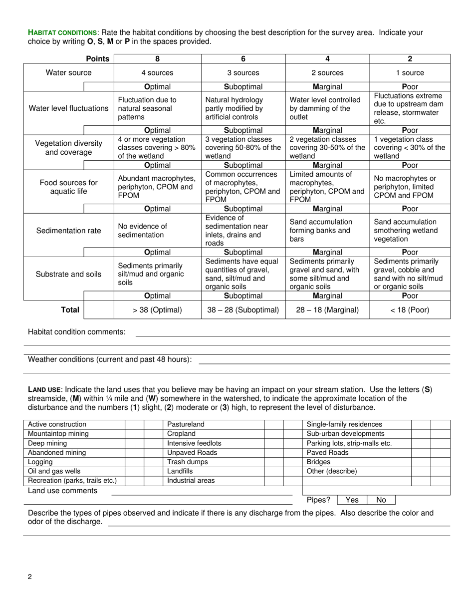
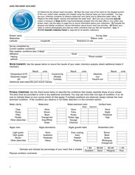
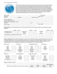
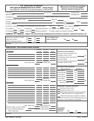
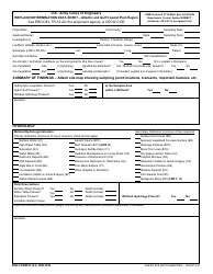
A: A wetland survey data sheet is a document used to record information about the wetlands in a specific area.
Q: Why is it important to conduct a wetland survey?
A: Conducting a wetland survey is important to understand the health and diversity of wetland ecosystems and to guide conservation and management efforts.
Q: Who conducts wetland surveys in West Virginia?
A: Wetland surveys in West Virginia can be conducted by environmental consultants, agencies, researchers, and volunteers who are trained in wetland identification and assessment.
Q: What information is collected in a wetland survey data sheet?
A: A wetland survey data sheet collects information such as wetland type, vegetation, soil characteristics, hydrology, and any human impacts or disturbances.
Q: How are wetlands classified in West Virginia?
A: Wetlands in West Virginia are classified using the Cowardin classification system, which categorizes wetlands based on their hydrologic regime, vegetation, and soil characteristics.
Q: Can wetland survey data sheets be used for regulatory purposes?
A: Yes, wetland survey data sheets can be used for regulatory purposes, such as for wetland permitting and compliance with environmental regulations.
Form Details:
- The latest edition currently provided by the West Virginia Department of Environmental Protection;
- Ready to use and print;
- Easy to customize;
- Compatible with most PDF-viewing applications;
- Fill out the form in our online filing application.
Download a printable version of the form by clicking the link below or browse more documents and templates provided by the West Virginia Department of Environmental Protection.
