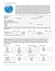
Level-1 Low Gradient Survey - West Virginia
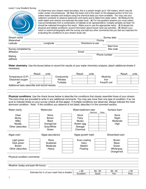
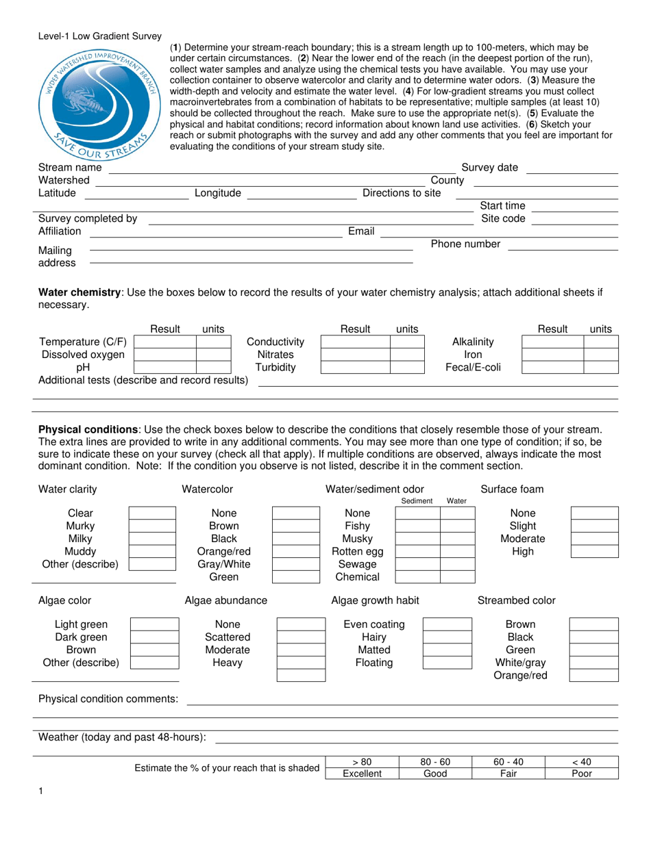
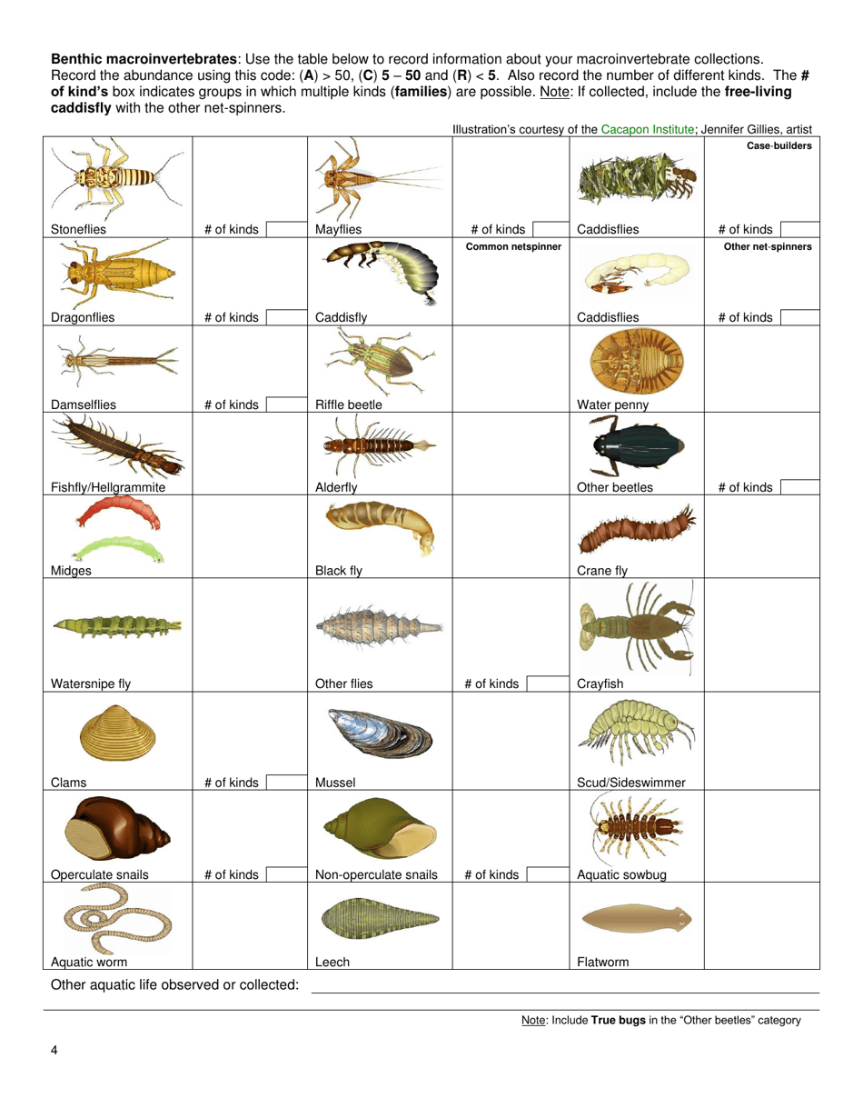
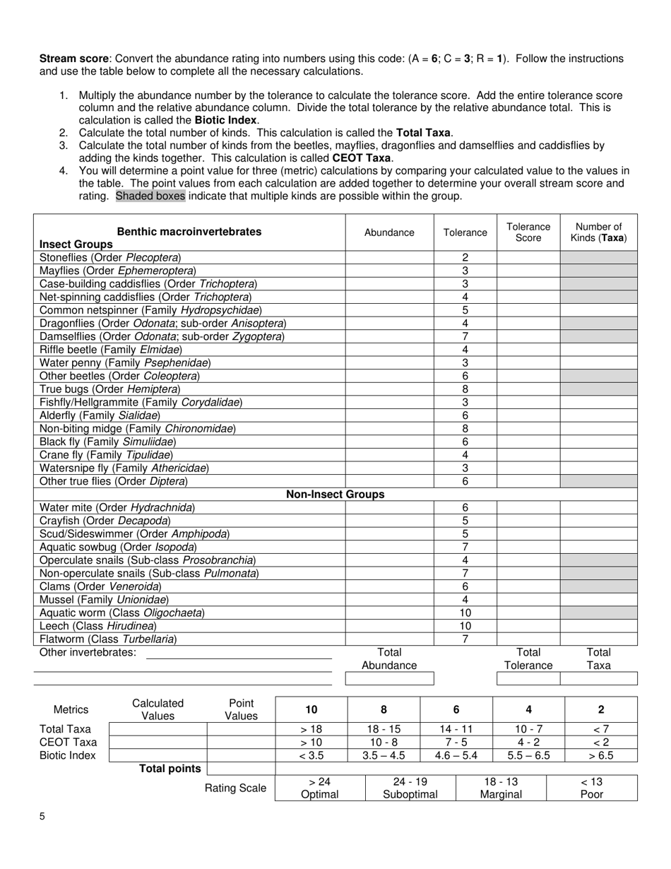
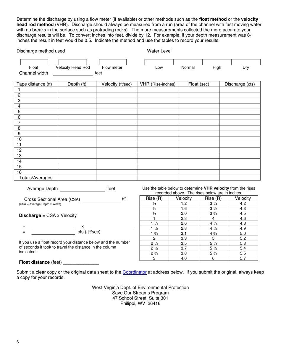
Level-1 Low Gradient Survey is a legal document that was released by the West Virginia Department of Environmental Protection - a government authority operating within West Virginia.
FAQ
Q: What is a Level-1 Low Gradient Survey?
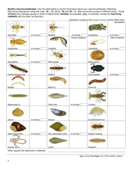
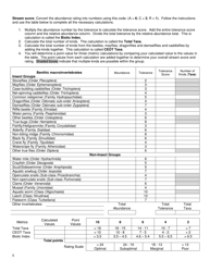
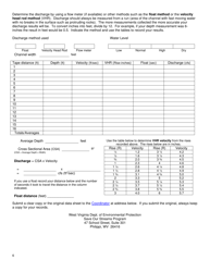
A: A Level-1 Low Gradient Survey is a type of survey conducted in the state of West Virginia.
Q: What is the purpose of a Level-1 Low Gradient Survey?
A: The purpose of a Level-1 Low Gradient Survey is to gather data on the gradient of land in West Virginia.
Q: Why is it important to survey the gradient of land?
A: Surveying the gradient of land helps identify areas prone to flooding and informs land-use planning and development decisions.
Q: Who conducts Level-1 Low Gradient Surveys?
A: Level-1 Low Gradient Surveys are typically conducted by government agencies or private surveying firms.
Q: What information does a Level-1 Low Gradient Survey provide?
A: A Level-1 Low Gradient Survey provides information on the elevation changes and slope of land in West Virginia.
Q: How can the data from a Level-1 Low Gradient Survey be used?
A: The data from a Level-1 Low Gradient Survey can be used for flood mapping, infrastructure planning, and land management.
Q: Are Level-1 Low Gradient Surveys only conducted in West Virginia?
A: Yes, Level-1 Low Gradient Surveys are specific to the state of West Virginia.
Form Details:
- The latest edition currently provided by the West Virginia Department of Environmental Protection;
- Ready to use and print;
- Easy to customize;
- Compatible with most PDF-viewing applications;
- Fill out the form in our online filing application.
Download a printable version of the form by clicking the link below or browse more documents and templates provided by the West Virginia Department of Environmental Protection.
