Form PDS-249A Tentative Parcel Map Applicant's Guide - County of San Diego, California
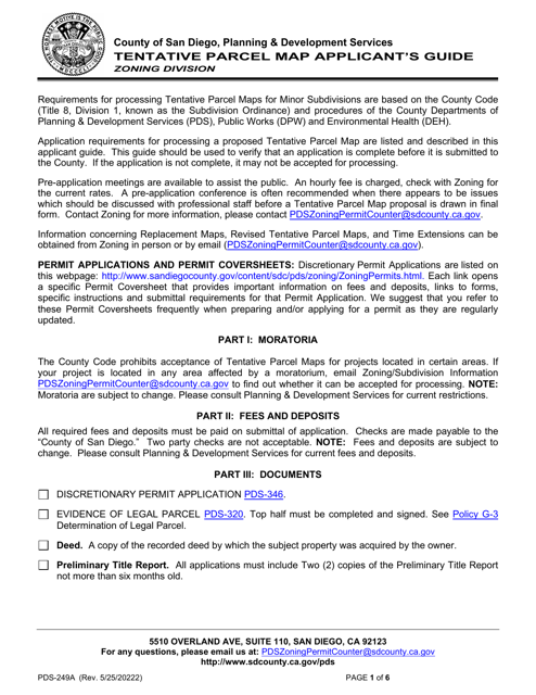
What Is Form PDS-249A?
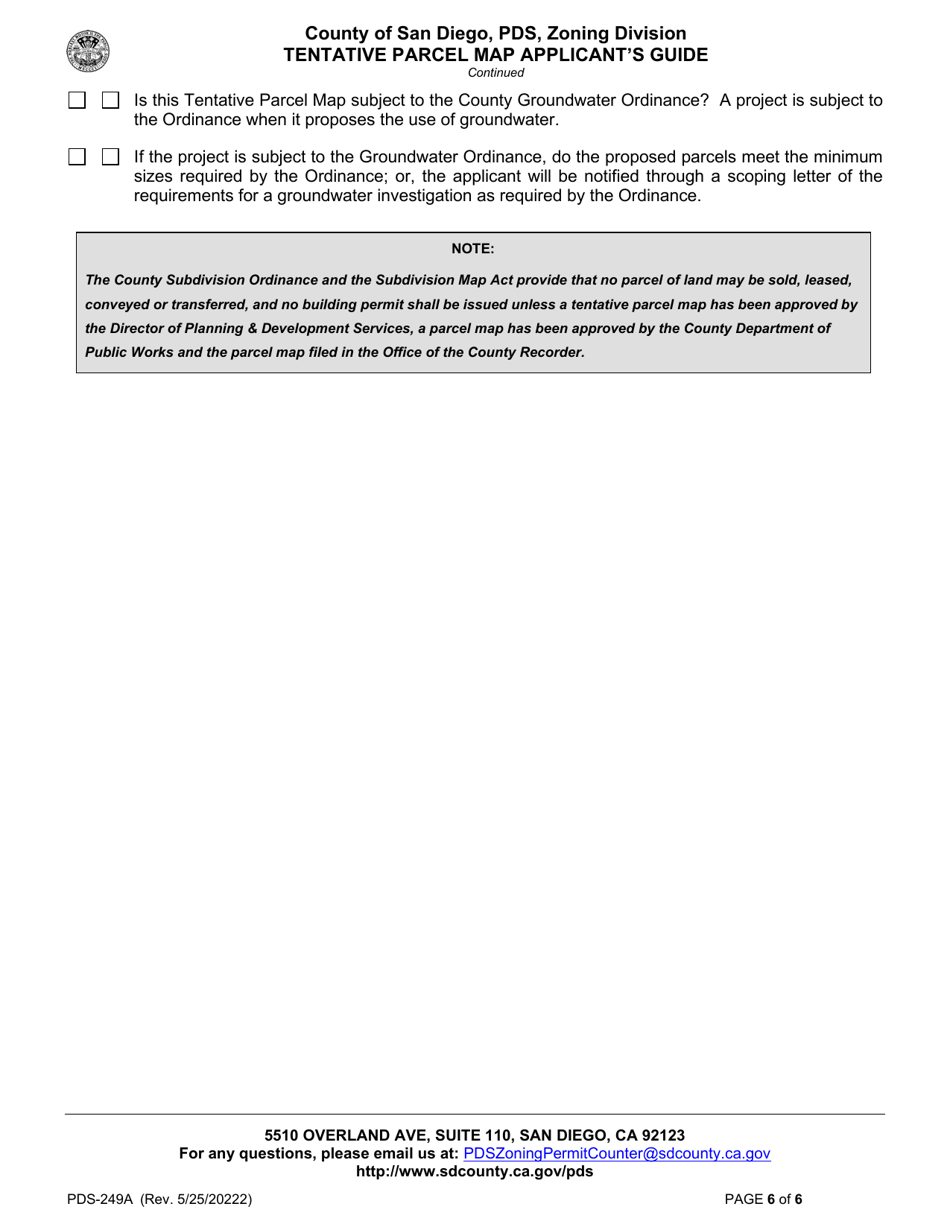
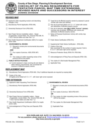
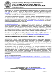
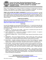
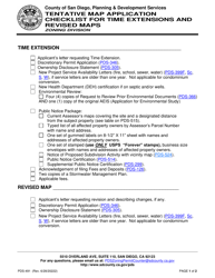
This is a legal form that was released by the Planning and Development Services - County of San Diego, California - a government authority operating within California. The form may be used strictly within County of San Diego. As of today, no separate filing guidelines for the form are provided by the issuing department.
FAQ
Q: What is Form PDS-249A?
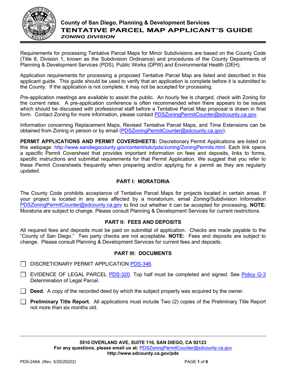
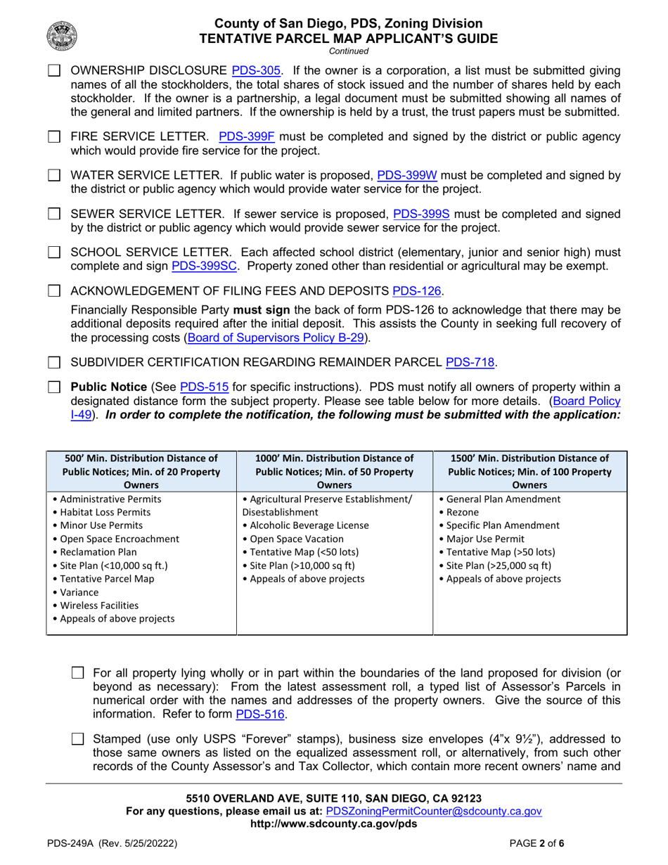
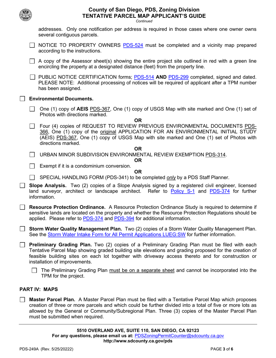
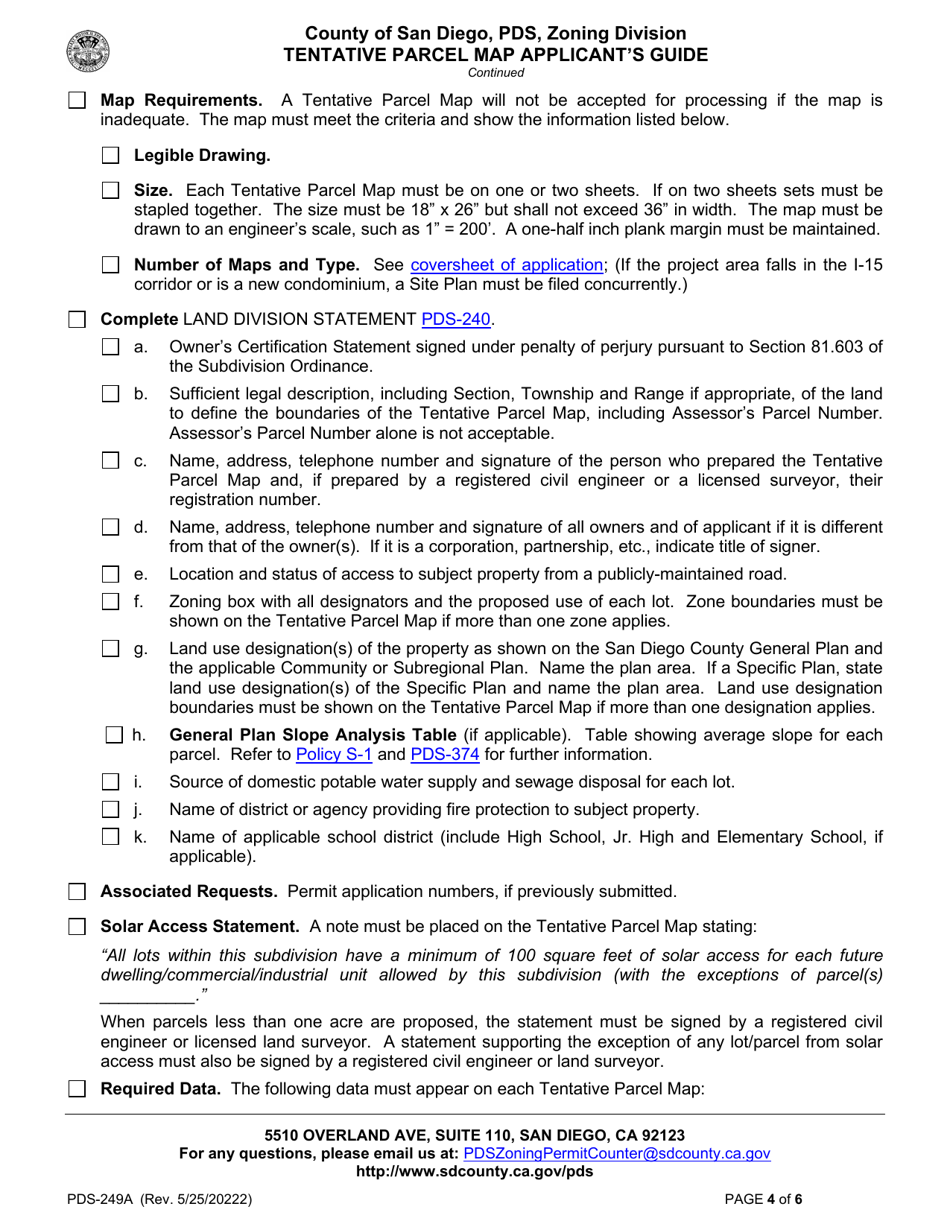
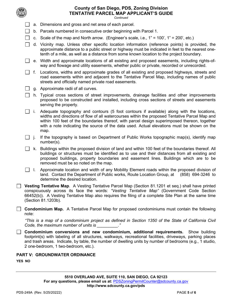
A: Form PDS-249A is the Tentative Parcel Map Applicant's Guide in the County of San Diego, California.
Q: What is a Tentative Parcel Map?
A: A Tentative Parcel Map is a proposed division of land into four or fewer parcels in San Diego County.
Q: What is the purpose of Form PDS-249A?
A: The purpose of Form PDS-249A is to provide guidance and instructions to applicants who are preparing a Tentative Parcel Map in San Diego County.
Q: Who should use Form PDS-249A?
A: Form PDS-249A should be used by applicants who are preparing a Tentative Parcel Map in the County of San Diego, California.
Form Details:
- Released on May 25, 2022;
- The latest edition provided by the Planning and Development Services - County of San Diego, California;
- Easy to use and ready to print;
- Quick to customize;
- Compatible with most PDF-viewing applications;
- Fill out the form in our online filing application.
Download a printable version of Form PDS-249A by clicking the link below or browse more documents and templates provided by the Planning and Development Services - County of San Diego, California.
