Gis Mapping Order Form - City of Big Rapids, Michigan
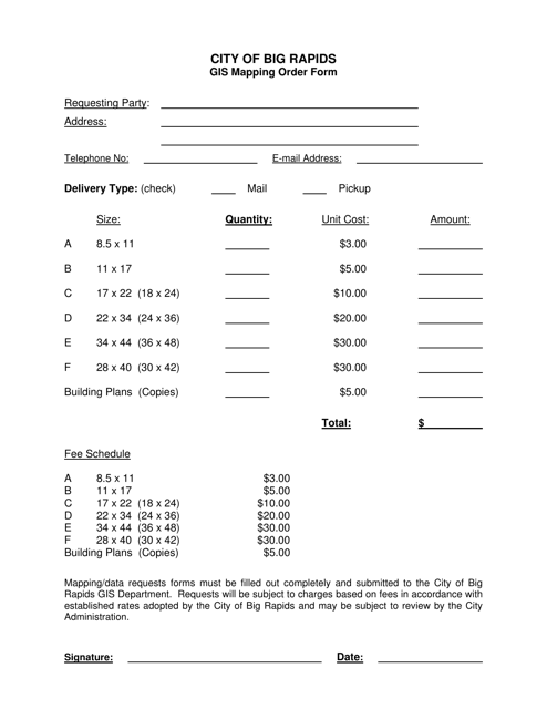
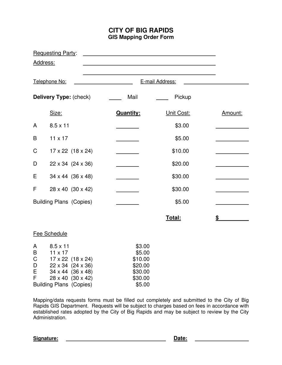
Gis Mapping Order Form is a legal document that was released by the Mapping and GIS Office - City of Big Rapids, Michigan - a government authority operating within Michigan. The form may be used strictly within City of Big Rapids.
FAQ
Q: What is the Gis Mapping Order Form?
A: The Gis Mapping Order Form is a document used by the City of Big Rapids, Michigan.
Q: Who can use the Gis Mapping Order Form?
A: Any individual or organization can use the Gis Mapping Order Form.
Q: What is Gis Mapping?
A: Gis Mapping refers to the process of using Geographic Information Systems to create, analyze, and visualize maps and spatial data.
Q: How can I obtain a copy of the Gis Mapping Order Form?
A: You can obtain a copy of the Gis Mapping Order Form by contacting the City of Big Rapids, Michigan.
Q: Is there a fee for using the Gis Mapping Order Form?
A: Yes, there may be fees associated with the use of the Gis Mapping Order Form. The specific fees can be obtained by contacting the City of Big Rapids, Michigan.
Q: What types of mapping services are available through the Gis Mapping Order Form?
A: The Gis Mapping Order Form offers a variety of mapping services, such as parcel maps, zoning maps, and utility maps.
Q: Are there any restrictions on the use of the Gis Mapping Order Form?
A: There may be certain restrictions on the use of the Gis Mapping Order Form. It is best to contact the City of Big Rapids, Michigan for specific details.
Q: How long does it take to process a Gis Mapping Order?
A: The processing time for a Gis Mapping Order can vary depending on the complexity of the request. It is best to contact the City of Big Rapids, Michigan for an estimated timeframe.
Form Details:
- The latest edition currently provided by the Mapping and GIS Office - City of Big Rapids, Michigan;
- Ready to use and print;
- Easy to customize;
- Compatible with most PDF-viewing applications;
- Fill out the form in our online filing application.
Download a printable version of the form by clicking the link below or browse more documents and templates provided by the Mapping and GIS Office - City of Big Rapids, Michigan.
