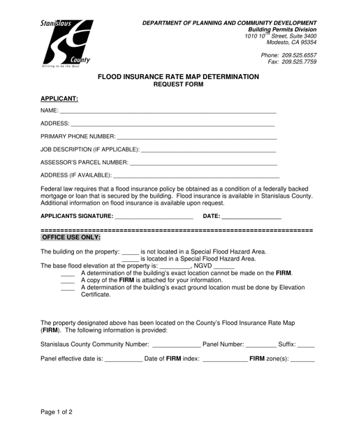
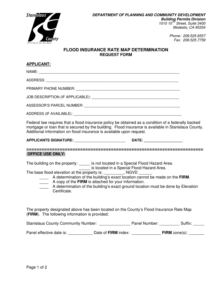
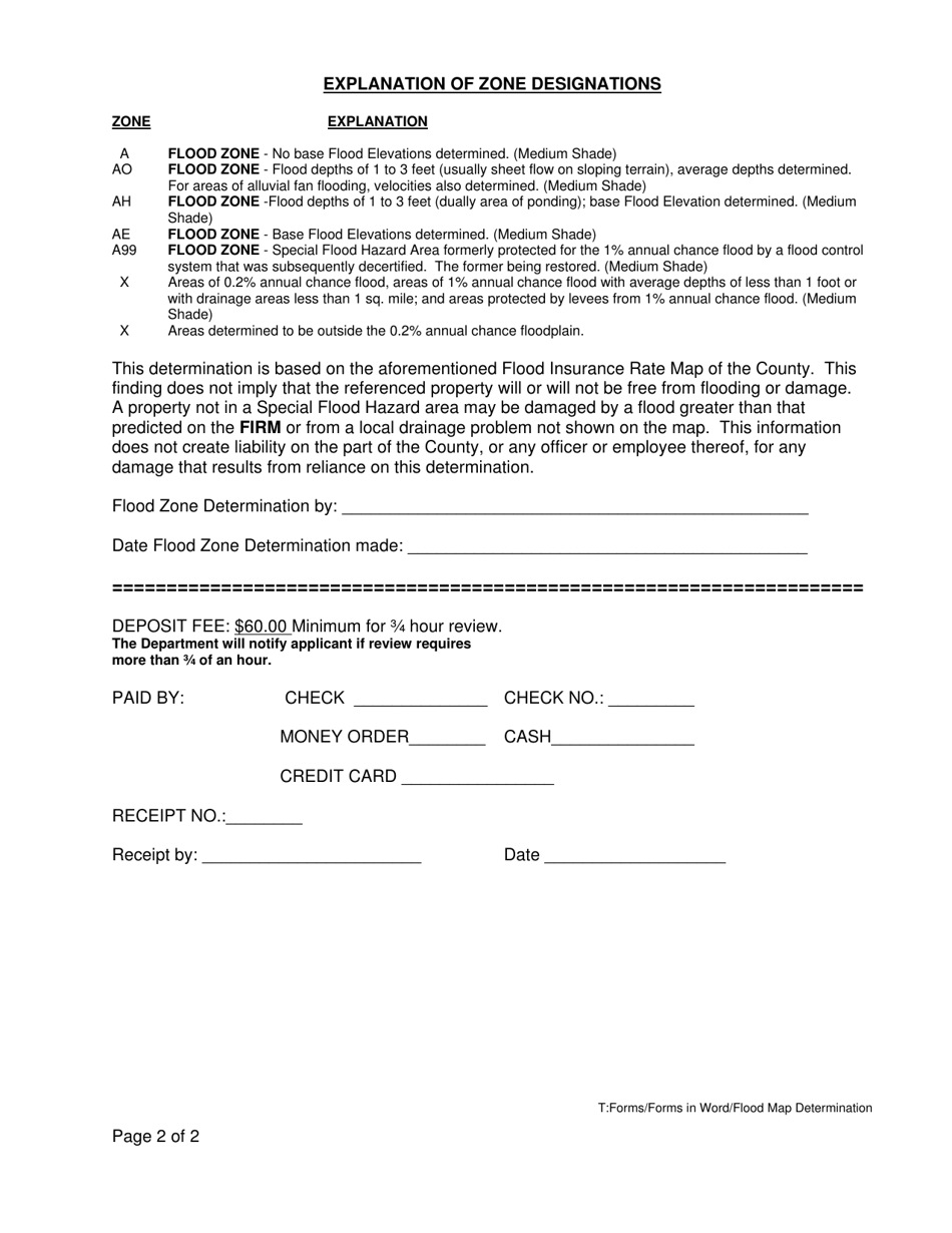
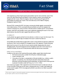
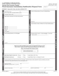
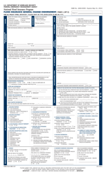
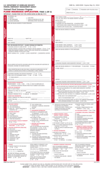
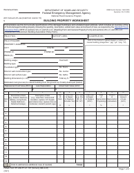
Flood Insurance Rate Map Determination Request Form - Stanislaus County, California
Flood Insurance Rate Map Determination Request Form is a legal document that was released by the Department of Planning and Community Development - Stanislaus County, California - a government authority operating within California. The form may be used strictly within Stanislaus County.
FAQ
Q: What is the Flood Insurance Rate Map Determination Request Form?
A: The Flood Insurance Rate Map Determination Request Form is a form used in Stanislaus County, California to determine the flood insurance rate map.
Q: Why is the form used?
A: The form is used to determine the flood insurance rate map for a particular location in Stanislaus County, California.
Q: What is the purpose of determining the flood insurance rate map?
A: Determining the flood insurance rate map helps in assessing the flood risk and determining the appropriate flood insurance premiums for a particular location.
Q: Who should fill out the form?
A: Property owners or individuals who want to assess their flood risk and determine appropriate flood insurance coverage should fill out the form.
Form Details:
- The latest edition currently provided by the Department of Planning and Community Development - Stanislaus County, California;
- Ready to use and print;
- Easy to customize;
- Compatible with most PDF-viewing applications;
- Fill out the form in our online filing application.
Download a fillable version of the form by clicking the link below or browse more documents and templates provided by the Department of Planning and Community Development - Stanislaus County, California.
