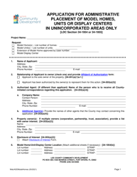
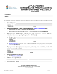
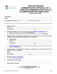
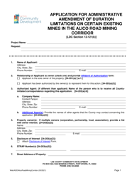
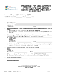
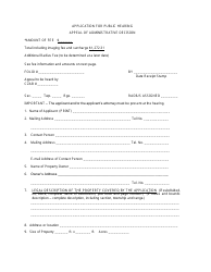
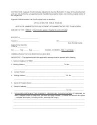
Application for Administrative Interpretation of Land Use Map Boundaries (L.u.m.b.) - Lee County, Florida
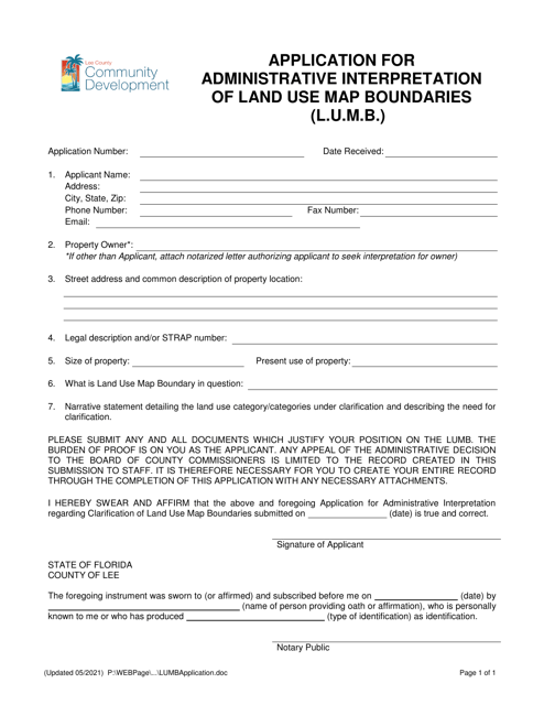
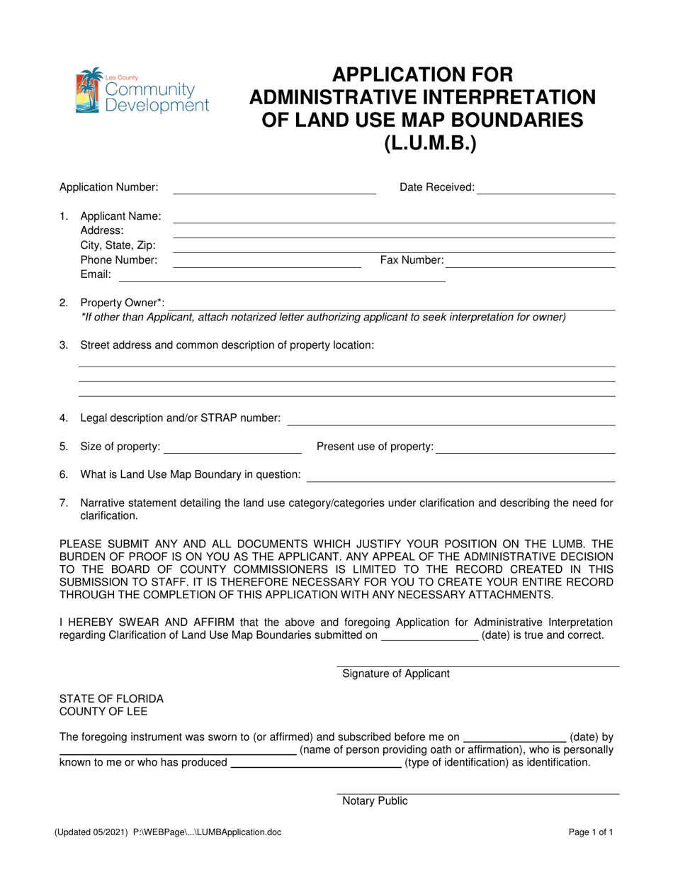
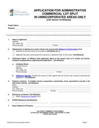
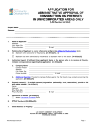
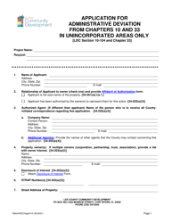
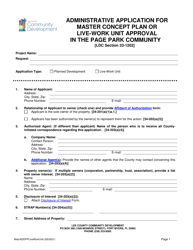
Application for Administrative Interpretation of Land Use Map Boundaries (L.u.m.b.) is a legal document that was released by the Department of Community Development - Lee County, Florida - a government authority operating within Florida. The form may be used strictly within Lee County.
FAQ
Q: What is the L.u.m.b. in Lee County, Florida?
A: The L.u.m.b. stands for Land Use Map Boundaries in Lee County, Florida.
Q: What is the purpose of the Administrative Interpretation?
A: The purpose of Administrative Interpretation is to clarify the boundaries of the Land Use Map in Lee County, Florida.
Q: How can I apply for an Administrative Interpretation of Land Use Map Boundaries?
A: To apply for an Administrative Interpretation of Land Use Map Boundaries, you can contact the relevant department in Lee County, Florida.
Q: What is the significance of the Administrative Interpretation?
A: The Administrative Interpretation helps in determining the appropriate land use within the designated boundaries in Lee County, Florida.
Q: Who can apply for an Administrative Interpretation?
A: Anyone who needs clarification on the Land Use Map boundaries in Lee County, Florida can apply for an Administrative Interpretation.
Q: Are there any fees associated with the application?
A: It is advisable to check with the relevant department in Lee County, Florida regarding any fees associated with the application for Administrative Interpretation.
Form Details:
- Released on May 1, 2021;
- The latest edition currently provided by the Department of Community Development - Lee County, Florida;
- Ready to use and print;
- Easy to customize;
- Compatible with most PDF-viewing applications;
- Fill out the form in our online filing application.
Download a printable version of the form by clicking the link below or browse more documents and templates provided by the Department of Community Development - Lee County, Florida.
