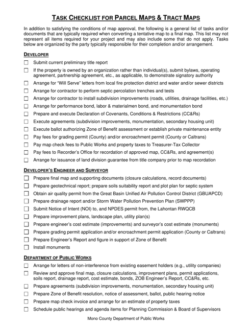
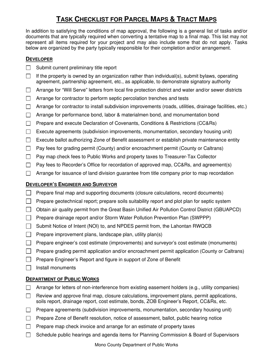
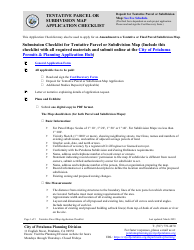
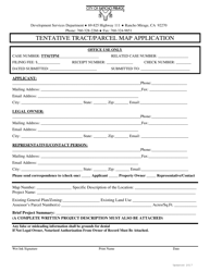
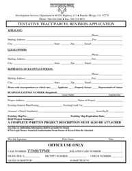
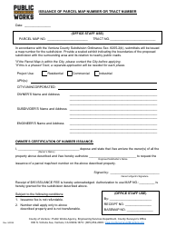
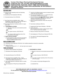
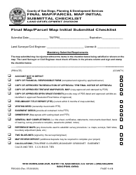
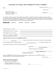
Task Checklist for Parcel Maps & Tract Maps - Mono County, California
Task Checklist for Parcel Maps & Tract Maps is a legal document that was released by the Department of Public Works - Mono County, California - a government authority operating within California. The form may be used strictly within Mono County.
FAQ
Q: What is a parcel map?
A: A parcel map is a drawn or printed map of a specific parcel of land.
Q: What is a tract map?
A: A tract map is a drawn or printed map of a subdivision with multiple parcels of land.
Q: Why do I need a parcel map or tract map?
A: You need these maps to determine the exact boundaries and dimensions of a property.
Q: How do I obtain a parcel map or tract map in Mono County, California?
A: You can obtain these maps from the Mono County Assessor's Office or the Planning Department.
Q: Are parcel maps and tract maps public records?
A: Yes, these maps are public records and can be accessed by the general public.
Q: How much does it cost to obtain a parcel map or tract map?
A: The cost varies depending on the size and complexity of the map. Contact the Mono County Assessor's Office or the Planning Department for specific pricing.
Q: What information is included in a parcel map or tract map?
A: These maps typically include information about property boundaries, dimensions, lot numbers, and neighboring parcels.
Q: Can I use a parcel map or tract map for legal purposes?
A: Yes, these maps can be used as evidence in legal disputes involving property boundaries and ownership.
Q: Do parcel maps or tract maps show property ownership?
A: No, these maps do not explicitly show property ownership. You need to refer to the official county records for that information.
Form Details:
- The latest edition currently provided by the Department of Public Works - Mono County, California;
- Ready to use and print;
- Easy to customize;
- Compatible with most PDF-viewing applications;
- Fill out the form in our online filing application.
Download a printable version of the form by clicking the link below or browse more documents and templates provided by the Department of Public Works - Mono County, California.
