Gis Data Request - Dutchess County, New York
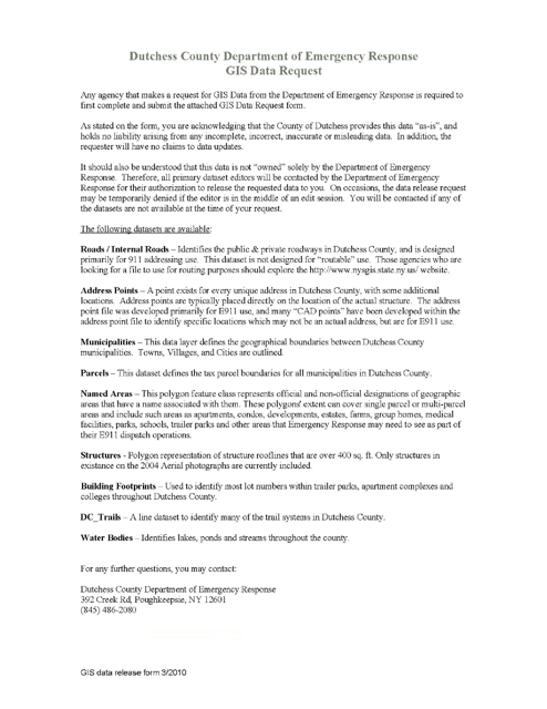
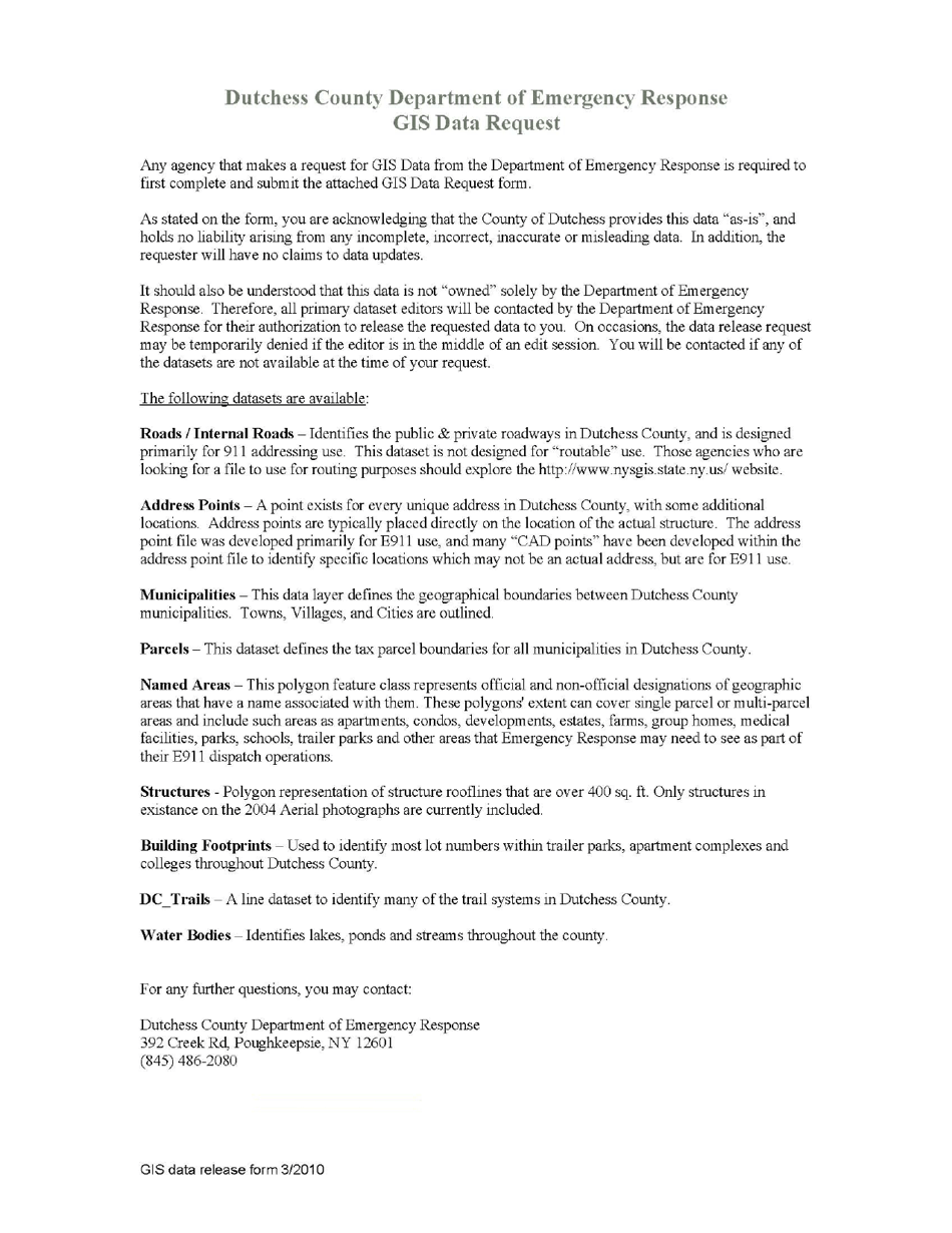
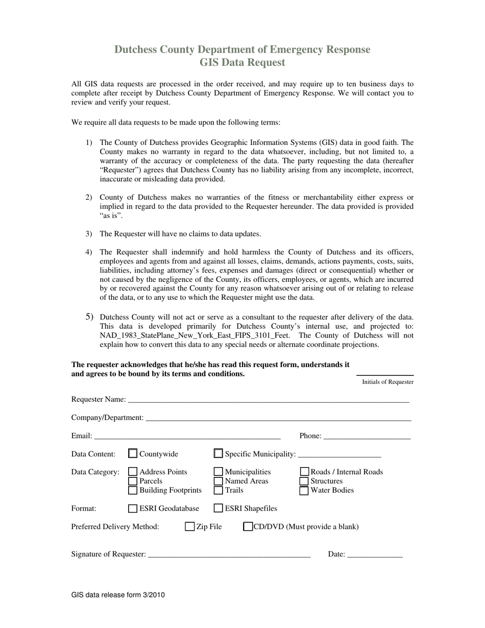
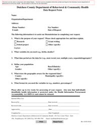
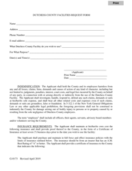
Gis Data Request is a legal document that was released by the Department of Emergency Response - Dutchess County, New York - a government authority operating within New York. The form may be used strictly within Dutchess County.
FAQ
Q: What is a GIS data request?
A: A GIS data request is a formal request for geographic information system (GIS) data.
Q: What is Dutchess County?
A: Dutchess County is a county located in the state of New York.
Q: What type of GIS data can be requested for Dutchess County, New York?
A: Various types of GIS data can be requested for Dutchess County, New York, including maps, aerial imagery, land use data, and demographic data.
Q: Is there a fee for making a GIS data request?
A: There may be a fee associated with making a GIS data request, depending on the type and amount of data requested. The Dutchess County GIS Department can provide information on any applicable fees.
Q: What can I do with GIS data?
A: GIS data can be used for various purposes, such as analyzing spatial patterns, creating maps, conducting environmental research, and supporting decision-making processes.
Q: Is GIS data available for other counties in New York?
A: Yes, GIS data is available for other counties in New York. Each county may have its own GIS department or agency responsible for managing and distributing the data.
Form Details:
- Released on March 1, 2010;
- The latest edition currently provided by the Department of Emergency Response - Dutchess County, New York;
- Ready to use and print;
- Easy to customize;
- Compatible with most PDF-viewing applications;
- Fill out the form in our online filing application.
Download a fillable version of the form by clicking the link below or browse more documents and templates provided by the Department of Emergency Response - Dutchess County, New York.
