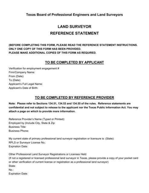
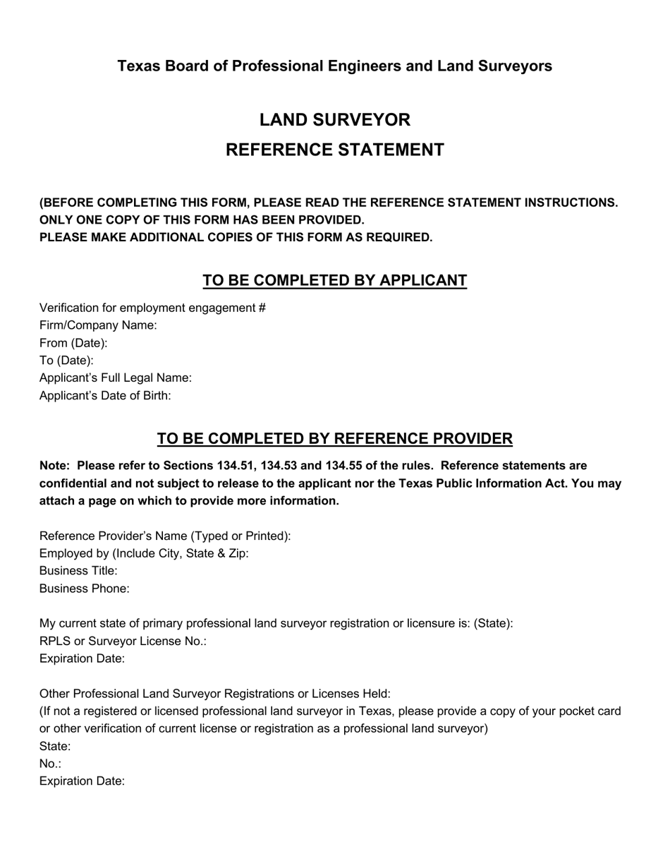
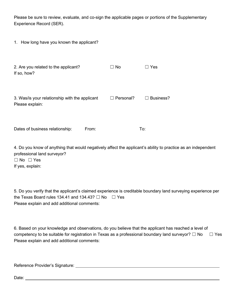
Land Surveyor Reference Statement - Texas
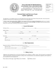
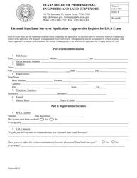
Land Surveyor Reference Statement is a legal document that was released by the Texas Board of Professional Engineers and Land Surveyors - a government authority operating within Texas.
FAQ
Q: What is a land surveyor?
A: A land surveyor is a professional who measures and maps land to determine boundaries, locations, and features.
Q: Why do I need a land surveyor?
A: You may need a land surveyor when buying or selling property, constructing or remodeling, settling boundary disputes, or preparing for land development.
Q: What does a land surveyor do?
A: A land surveyor uses specialized equipment and techniques to measure and map the land, locate property boundaries, identify any encroachments, and create accurate surveys.
Q: What qualifications does a land surveyor in Texas have?
A: In Texas, land surveyors are required to have a license issued by the Texas Board of Professional Land Surveying. They must meet educational requirements, pass an exam, and have a certain amount of experience.
Q: How much does a land surveyor cost in Texas?
A: The cost of hiring a land surveyor in Texas can vary depending on factors such as the size and complexity of the survey, the location of the property, and the surveyor's experience. It is best to get quotes from multiple surveyors to compare prices.
Q: Can a land surveyor in Texas settle boundary disputes?
A: Yes, a land surveyor in Texas can help settle boundary disputes by accurately determining property boundaries through a survey. The surveyor's findings can be used as evidence in legal proceedings, if necessary.
Q: What is a plat of survey?
A: A plat of survey is a detailed map created by a land surveyor that shows the boundaries, measurements, and features of a piece of land. It is often used for legal and development purposes.
Form Details:
- The latest edition currently provided by the Texas Board of Professional Engineers and Land Surveyors;
- Ready to use and print;
- Easy to customize;
- Compatible with most PDF-viewing applications;
- Fill out the form in our online filing application.
Download a fillable version of the form by clicking the link below or browse more documents and templates provided by the Texas Board of Professional Engineers and Land Surveyors.
