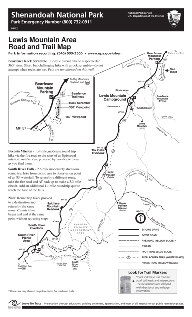
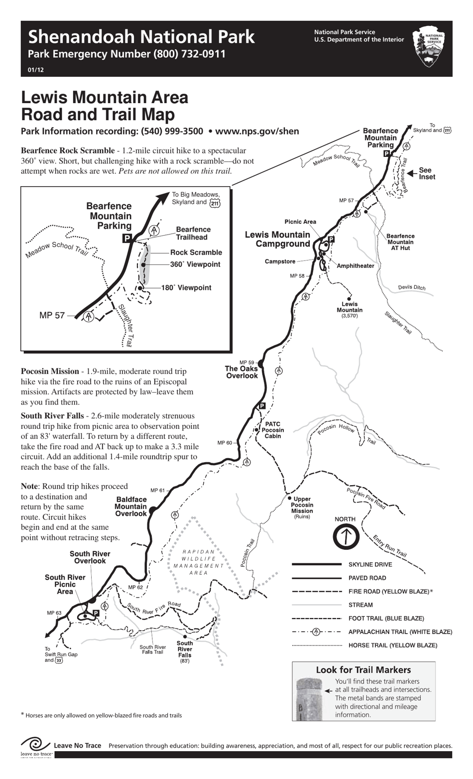
Lewis Mountain Area Road and Trail Map - Shenandoah National Park
Lewis Mountain Area Road and Trail Map - Shenandoah National Park is a 1-page legal document that was released by the U.S. Department of the Interior - National Park Service on January 1, 2012 and used nation-wide.
FAQ
Q: What is included in the Lewis Mountain Area Road and Trail Map?
A: The Lewis Mountain Area Road and Trail Map includes information about the roads and trails in the Lewis Mountain area of Shenandoah National Park.
Q: Can I access the Lewis Mountain area by car?
A: Yes, you can access the Lewis Mountain area by car using Skyline Drive.
Q: Are there any hiking trails in the Lewis Mountain area?
A: Yes, there are hiking trails in the Lewis Mountain area.
Q: What are the attractions in the Lewis Mountain area?
A: The Lewis Mountain area offers attractions such as hiking trails, scenic overlooks, and wildlife viewing opportunities.
Q: Are there any camping options in the Lewis Mountain area?
A: Yes, there is a campground in the Lewis Mountain area where you can stay overnight.
Q: Can I bring my pets to the Lewis Mountain area?
A: Yes, pets are allowed in the Lewis Mountain area, but they must be on a leash at all times.
Q: How can I obtain a printed copy of the Lewis Mountain Area Road and Trail Map?
A: You can obtain a printed copy of the Lewis Mountain Area Road and Trail Map at Shenandoah National Park visitor centers.
Form Details:
- The latest edition currently provided by the U.S. Department of the Interior - National Park Service;
- Ready to use and print;
- Easy to customize;
- Compatible with most PDF-viewing applications;
- Fill out the form in our online filing application.
Download a printable version of the form by clicking the link below or browse more legal forms and templates provided by the issuing department.


