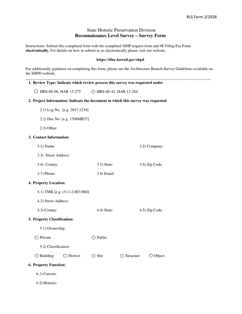
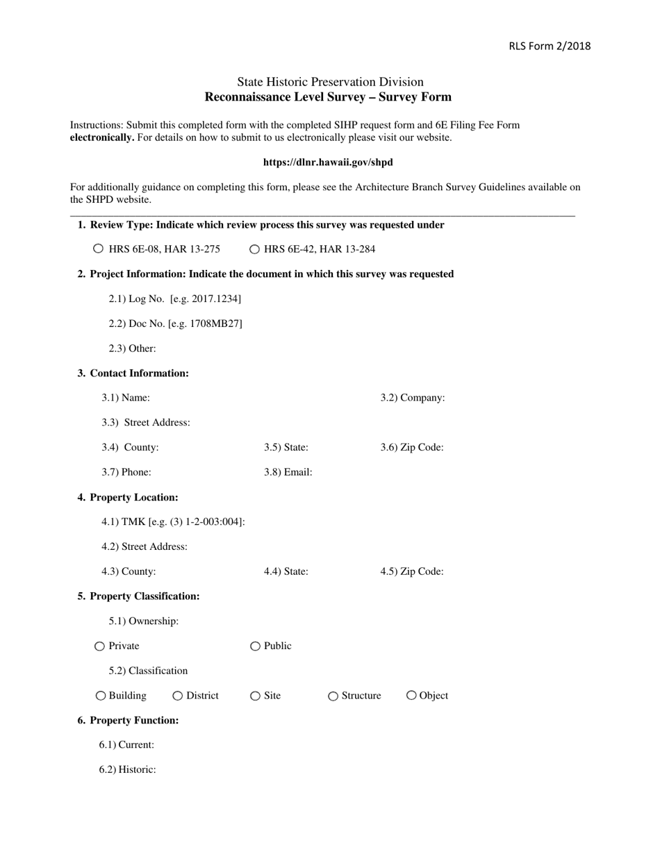
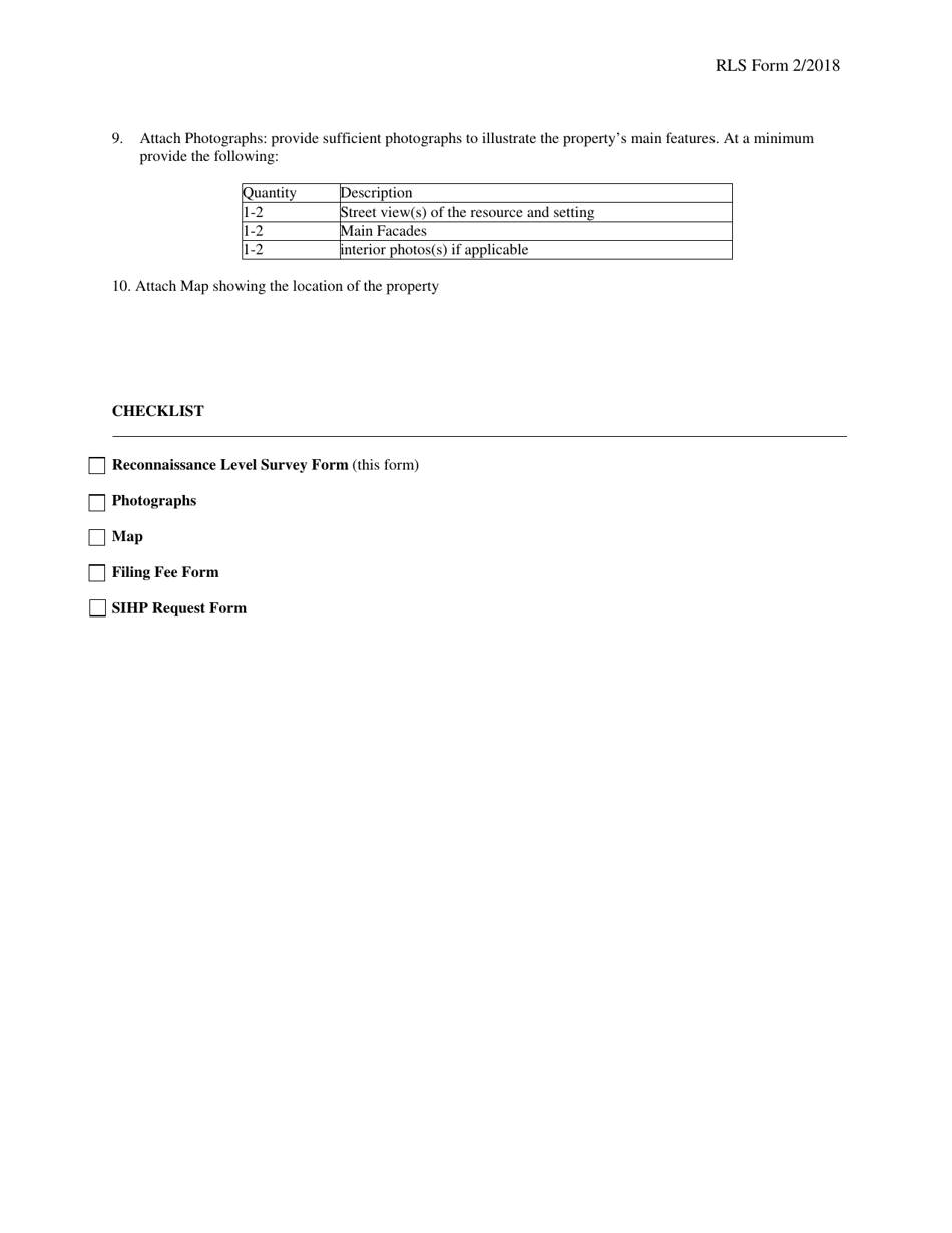
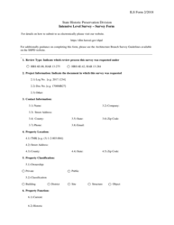
Reconnaissance Level Survey - Survey Form - Hawaii
Reconnaissance Level Survey - Survey Form is a legal document that was released by the Hawaii Department of Land & Natural Resources - a government authority operating within Hawaii.
FAQ
Q: What is a reconnaissance level survey?
A: A reconnaissance level survey is a preliminary survey conducted to gather basic information and assess the feasibility of a project.
Q: What is the purpose of a reconnaissance level survey?
A: The purpose of a reconnaissance level survey is to collect preliminary data and evaluate the suitability of an area for a specific project.
Q: What does a reconnaissance level survey involve?
A: A reconnaissance level survey involves collecting general information about an area, such as topography, vegetation, and existing infrastructure.
Q: Who conducts reconnaissance level surveys?
A: Reconnaissance level surveys are typically conducted by engineers, architects, or other professionals involved in project planning.
Q: Why would a reconnaissance level survey be conducted in Hawaii?
A: A reconnaissance level survey in Hawaii could be conducted to assess the potential for a construction or development project, or to evaluate the impact on the environment and local communities.
Form Details:
- Released on February 1, 2018;
- The latest edition currently provided by the Hawaii Department of Land & Natural Resources;
- Ready to use and print;
- Easy to customize;
- Compatible with most PDF-viewing applications;
- Fill out the form in our online filing application.
Download a fillable version of the form by clicking the link below or browse more documents and templates provided by the Hawaii Department of Land & Natural Resources.
