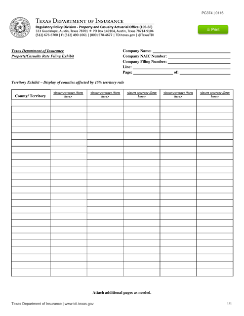
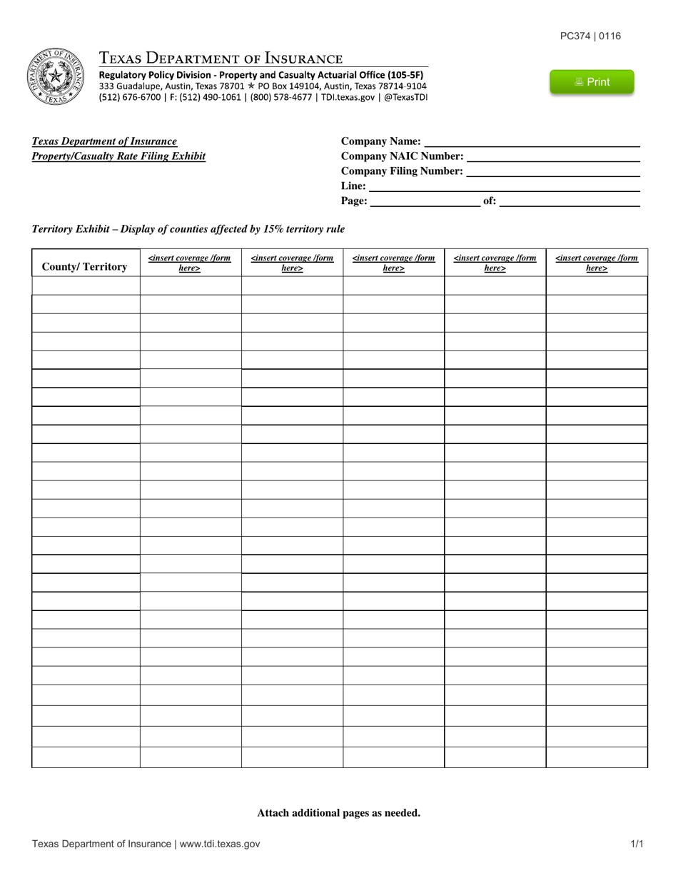
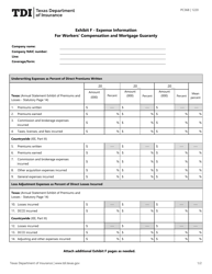
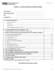
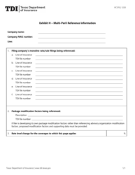
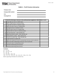
Form PC374 Territory Exhibit - Texas
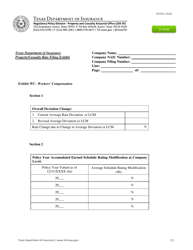
What Is Form PC374?
This is a legal form that was released by the Texas Department of Insurance - a government authority operating within Texas. As of today, no separate filing guidelines for the form are provided by the issuing department.
FAQ
Q: What is the Form PC374 Territory Exhibit?
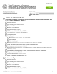
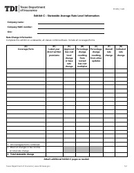
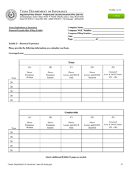
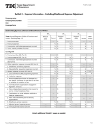
A: The Form PC374 Territory Exhibit is a document used by insurance companies to determine the territorial boundaries for insurance coverage in Texas.
Q: Why is the Form PC374 Territory Exhibit important?
A: The Form PC374 Territory Exhibit is important because it helps insurance companies assess the risk and set premiums based on the specific location within Texas.
Q: How is the territory defined in the Form PC374 Territory Exhibit?
A: The territory in the Form PC374 Territory Exhibit is defined by specific geographic boundaries, such as counties or postal codes, within the state of Texas.
Q: Can the territory boundaries be customized in the Form PC374 Territory Exhibit?
A: Yes, insurance companies can customize the territory boundaries in the Form PC374 Territory Exhibit based on their own criteria and risk assessment.
Q: Who prepares the Form PC374 Territory Exhibit?
A: The Form PC374 Territory Exhibit is typically prepared by the insurance company or its representatives who have knowledge of the local geography and risk factors.
Form Details:
- Released on January 1, 2016;
- The latest edition provided by the Texas Department of Insurance;
- Easy to use and ready to print;
- Quick to customize;
- Compatible with most PDF-viewing applications;
- Fill out the form in our online filing application.
Download a fillable version of Form PC374 by clicking the link below or browse more documents and templates provided by the Texas Department of Insurance.
