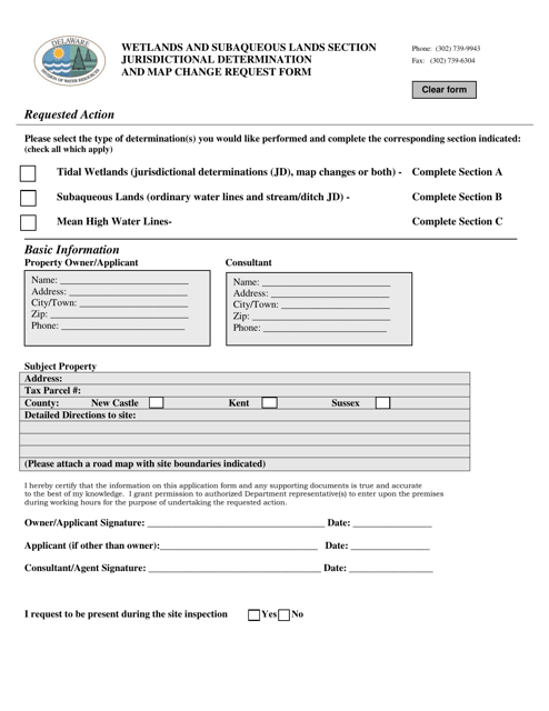
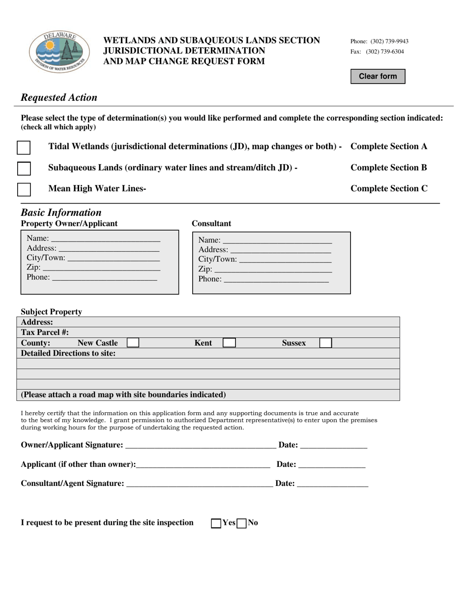
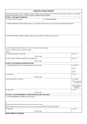
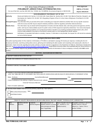
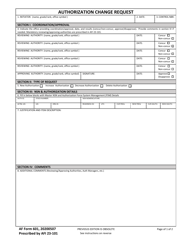
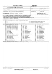
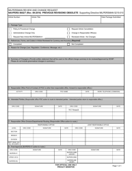
Jurisdictional Determination and Map Change Request Form - Delaware
Jurisdictional Determination and Map Change Request Form is a legal document that was released by the Delaware Department of Natural Resources and Environmental Control - a government authority operating within Delaware.
FAQ
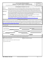
Q: What is a Jurisdictional Determination?
A: A Jurisdictional Determination is a decision made by the U.S. Army Corps of Engineers that determines whether a specific area of land or water is considered a 'waters of the United States' and therefore subject to regulation under the Clean Water Act.
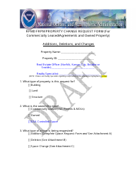
Q: What is a Map Change Request?
A: A Map Change Request is a request submitted to the Federal Emergency Management Agency (FEMA) to revise the Flood Insurance Rate Map (FIRM) for a specific area. This can include adding or removing properties from the floodplain.
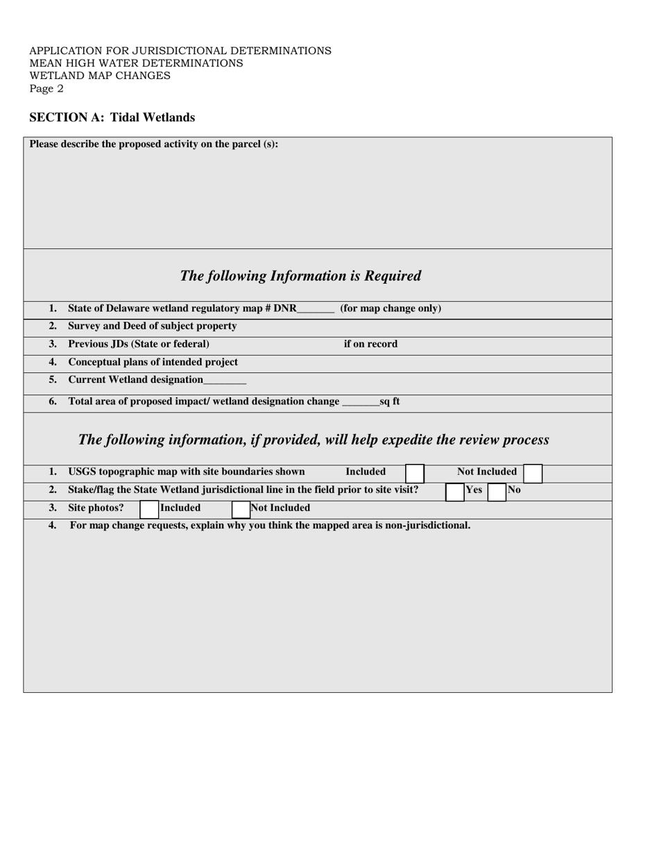
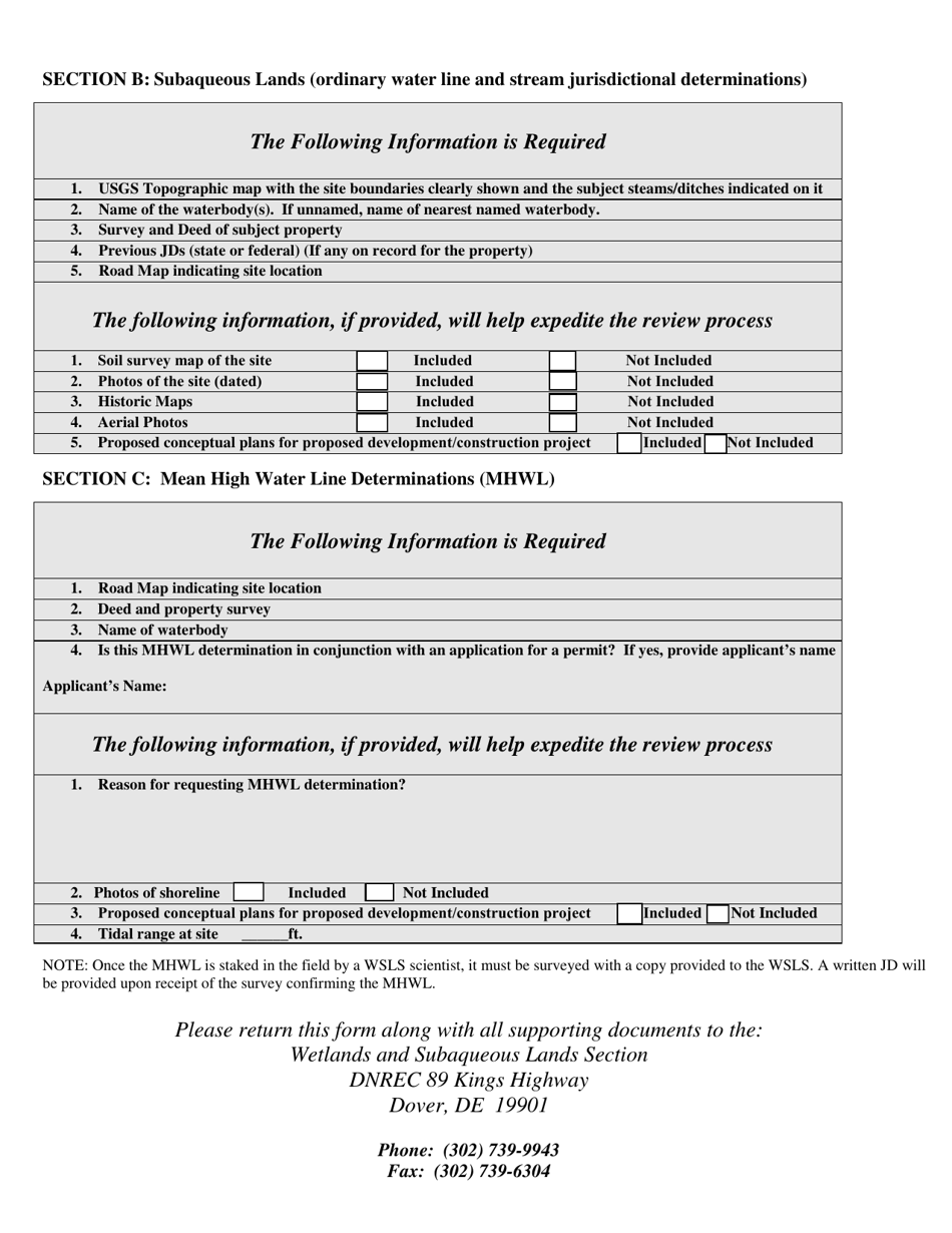
Q: What information is required on the Jurisdictional Determination and Map Change Request Form?
A: The specific information required on the form may vary, but typically it will ask for details about the property or area in question, such as the location, size, and any relevant documentation or evidence.
Q: Who can submit a Jurisdictional Determination and Map Change Request Form?
A: Property owners, developers, or other individuals or organizations with a stake in the property or area in question can submit a Jurisdictional Determination and Map Change Request Form.
Form Details:
- The latest edition currently provided by the Delaware Department of Natural Resources and Environmental Control;
- Ready to use and print;
- Easy to customize;
- Compatible with most PDF-viewing applications;
- Fill out the form in our online filing application.
Download a fillable version of the form by clicking the link below or browse more documents and templates provided by the Delaware Department of Natural Resources and Environmental Control.
