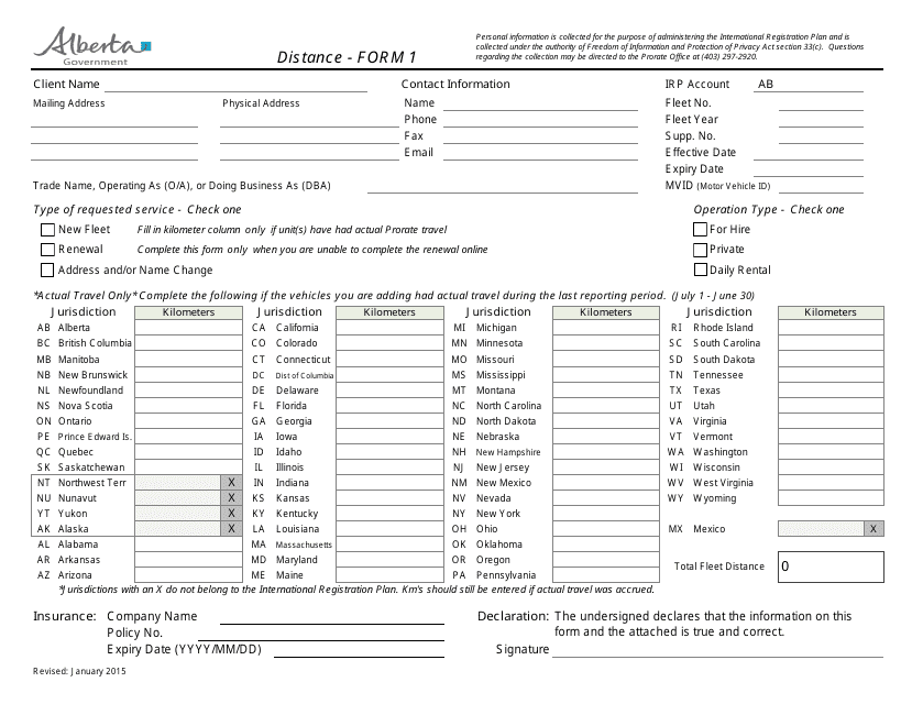
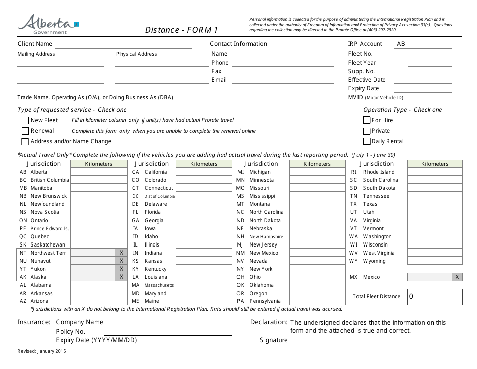
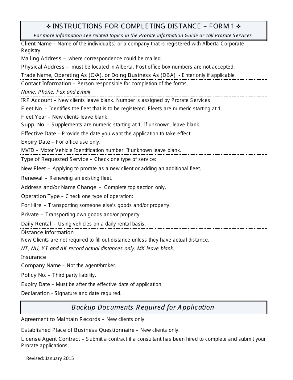
Form 1 Distance - Alberta, Canada
The Form 1 Distance in Alberta, Canada is used for reporting the distance of a proposed development from a body of water or wetland.
The Form 1 Distance in Alberta, Canada is typically filed by the person initiating the Distance Proceedings.
FAQ
Q: How far is Alberta, Canada from the United States?
A: The distance between Alberta, Canada and the United States varies depending on the location. It can range from a few miles to several hundred miles depending on the border crossing point.
Q: What is the approximate driving distance from Alberta, Canada to the United States?
A: The driving distance from Alberta, Canada to the United States depends on the specific destinations. For example, it is approximately 650 miles (1046 km) from Calgary, Alberta to Spokane, Washington.
Q: How long does it take to drive from Alberta, Canada to the United States?
A: The driving time from Alberta, Canada to the United States depends on the distance and traffic conditions. It can take anywhere from a few hours to several days, depending on the destination and route.
Q: Can I fly from Alberta, Canada to the United States?
A: Yes, there are airports in Alberta, Canada that offer flights to various destinations in the United States. The availability of flights and specific routes may vary.
Q: What is the closest US state to Alberta, Canada?
A: The US states that border Alberta, Canada are Montana to the south and Idaho to the southwest. Montana is the closest state to Alberta.
Q: What are the main border crossing points between Alberta, Canada and the United States?
A: Some of the main border crossing points between Alberta, Canada and the United States include Coutts, Alberta/Sweet Grass, Montana; Carway, Alberta/Peigan, Montana; and Wild Horse, Alberta/Whitlash, Montana.
