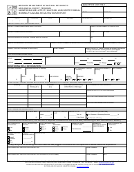
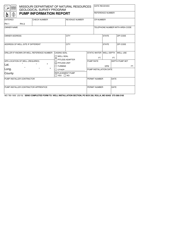
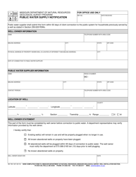
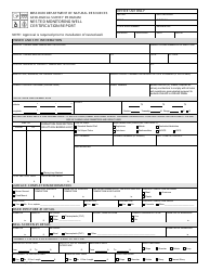
Form MO780-1694 Monitoring Point Water Trace Information Sheet - Geological Survey Program - Missouri
What Is Form MO780-1694?
This is a legal form that was released by the Missouri Department of Natural Resources - a government authority operating within Missouri. As of today, no separate filing guidelines for the form are provided by the issuing department.
FAQ
Q: What is the Form MO780-1694?
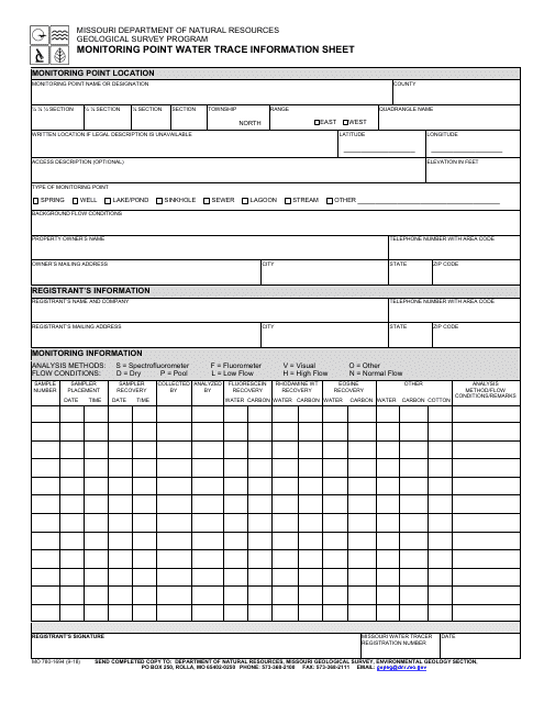
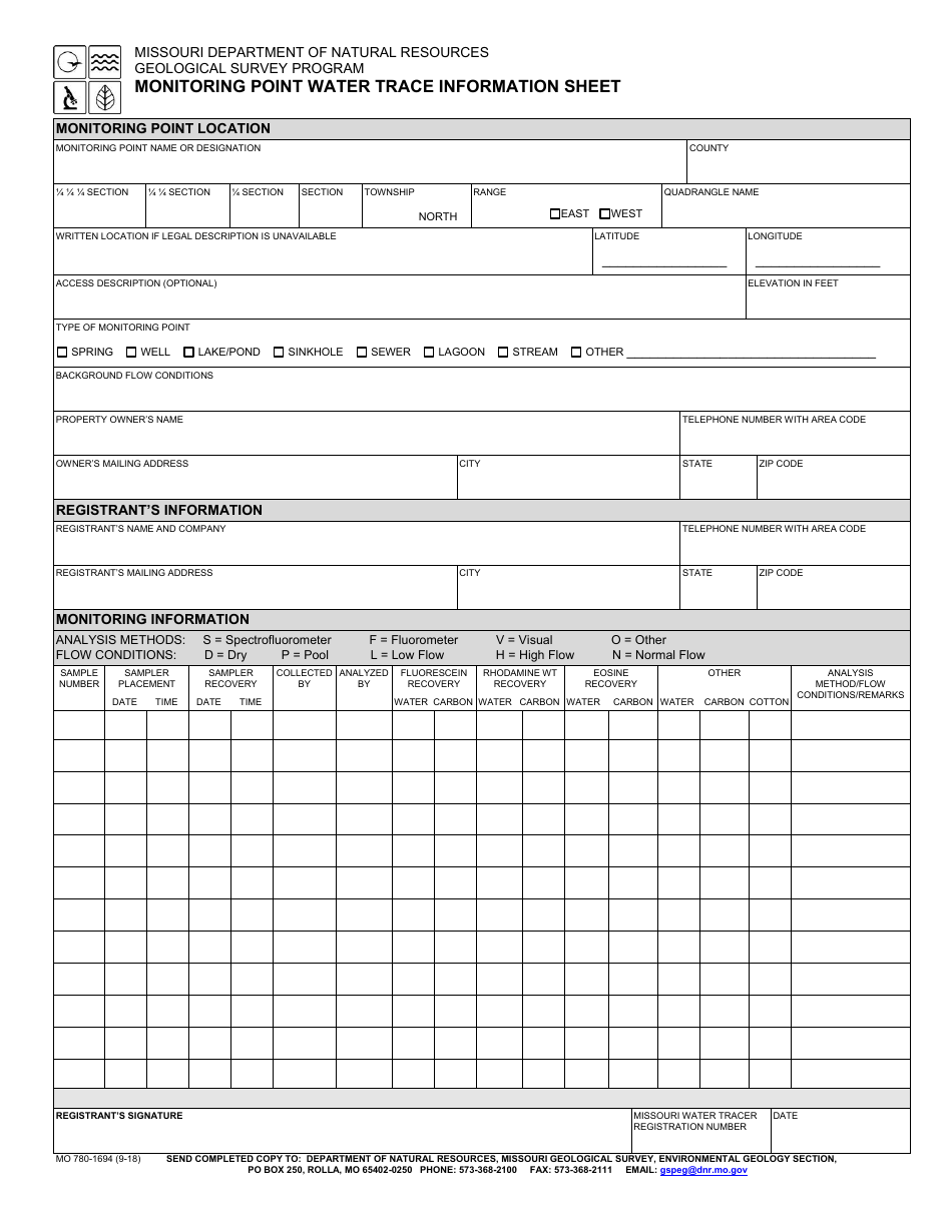
A: The Form MO780-1694 is an information sheet for monitoring point water trace in the Geological Survey Program in Missouri.
Q: What does the Geological Survey Program do?
A: The Geological Survey Program in Missouri is responsible for studying and monitoring various geological aspects of the state.
Q: What is a monitoring point?
A: A monitoring point is a specific location where water traces are observed and recorded.
Q: What is water trace?
A: Water trace refers to the presence or movement of water in a particular geological area.
Q: What information is included in the Form MO780-1694?
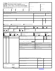
A: The Form MO780-1694 includes detailed information about the monitoring point, such as its location, characteristics, and water trace observations.
Q: Why is monitoring water trace important?
A: Monitoring water trace is important for understanding the water cycle, geologic processes, and potential impacts on the environment.
Q: Who uses the Form MO780-1694?
A: The Form MO780-1694 is used by researchers, scientists, and organizations involved in geology and water resource management in Missouri.
Form Details:
- Released on September 1, 2018;
- The latest edition provided by the Missouri Department of Natural Resources;
- Easy to use and ready to print;
- Quick to customize;
- Compatible with most PDF-viewing applications;
- Fill out the form in our online filing application.
Download a fillable version of Form MO780-1694 by clicking the link below or browse more documents and templates provided by the Missouri Department of Natural Resources.
