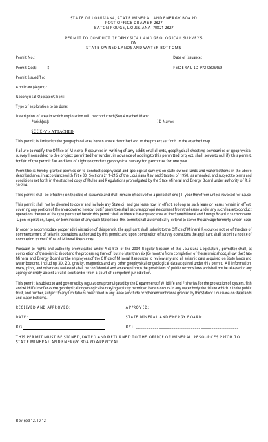
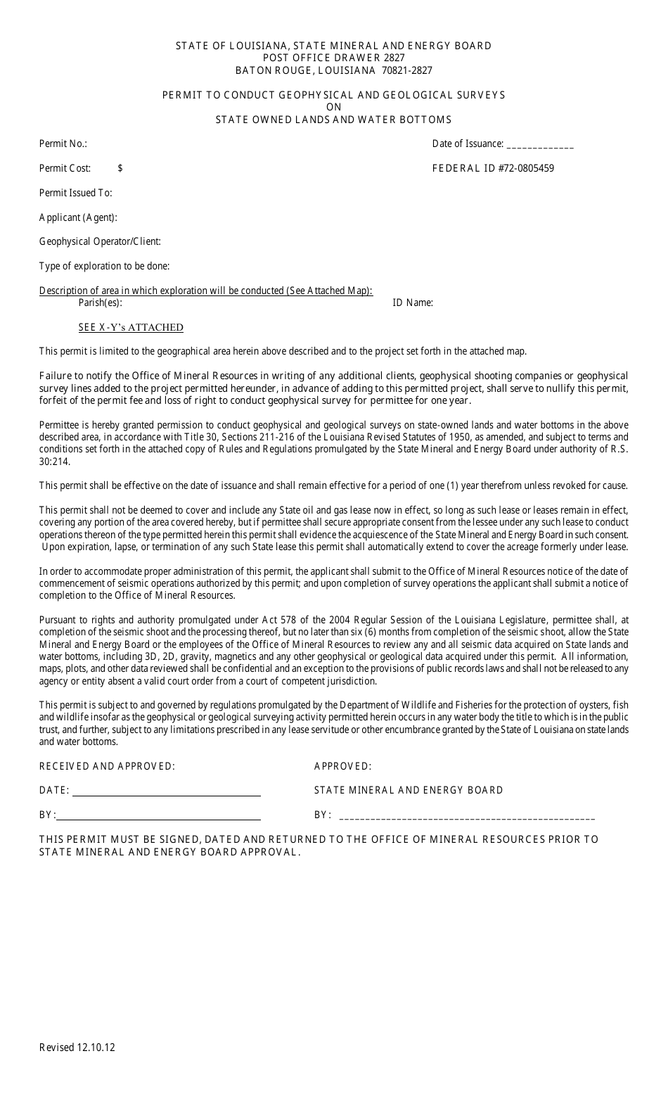
Permit to Conduct Geophysical and Geological Surveys on State Owned Lands and Water Bottoms - Louisiana
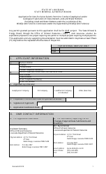
Permit to Conduct Geophysical and Geological Surveys on State Owned Lands and Water Bottoms is a legal document that was released by the Louisiana Department of Natural Resources - a government authority operating within Louisiana.
FAQ
Q: What is a geophysical survey?
A: A geophysical survey is a method used to gather information about the subsurface of the land or the water bottom by measuring physical properties.
Q: What is a geological survey?
A: A geological survey is a study of the rocks, minerals, and other aspects of the Earth's structure and history.
Q: What are state owned lands and water bottoms?
A: State owned lands and water bottoms refer to the areas that are owned by the government of Louisiana.
Q: Why would someone need a permit to conduct geophysical and geological surveys on state-owned lands and water bottoms?
A: A permit is required to ensure that the surveys are conducted in a responsible and regulated manner to protect the environment and public interest.
Q: How can I obtain a permit for conducting geophysical and geological surveys on state-owned lands and water bottoms in Louisiana?
A: You can obtain a permit by contacting the appropriate government agency responsible for managing the state-owned lands and water bottoms in Louisiana.
Form Details:
- Released on December 10, 2012;
- The latest edition currently provided by the Louisiana Department of Natural Resources;
- Ready to use and print;
- Easy to customize;
- Compatible with most PDF-viewing applications;
- Fill out the form in our online filing application.
Download a printable version of the form by clicking the link below or browse more documents and templates provided by the Louisiana Department of Natural Resources.
