Land Development Templates
Documents:
209
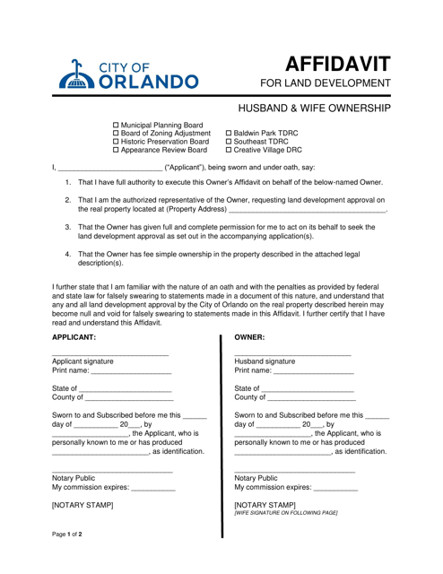
This document is an affidavit used by a husband and wife for land development in the City of Orlando, Florida.
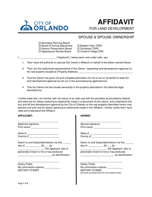
This document is used for declaring the ownership of land development by both spouses in the City of Orlando, Florida.
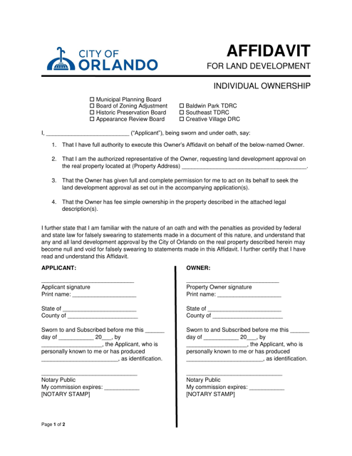
This document is used for individuals in Orlando, Florida who own land and need to provide a sworn statement related to land development.
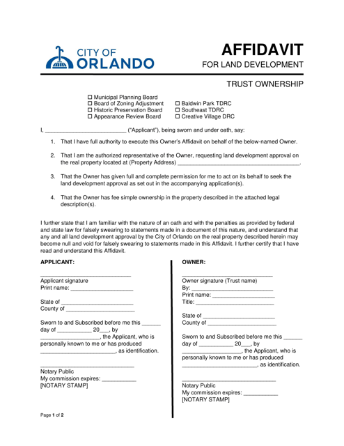
This document is used for an affidavit related to the ownership of land in the City of Orlando, Florida, specifically for land development involving a trust.
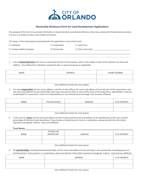
This form is used for disclosing ownership information when submitting land development applications in the City of Orlando, Florida.
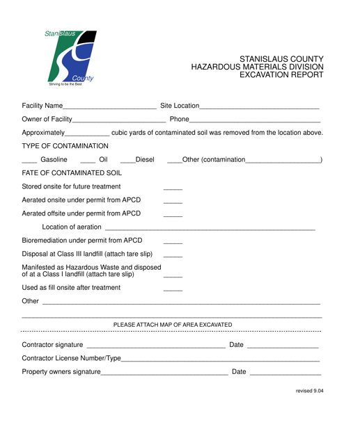
This document provides a report on excavation activities in Stanislaus County, California. It contains information about the location, scope, and results of the excavation project.
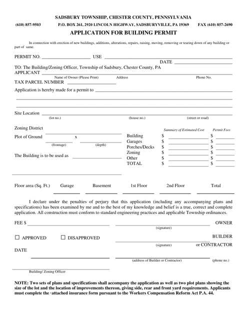
This document is for applying for a building permit in Sadsbury Township, Pennsylvania.
This form is used for submitting a special use application in Monroe County, New York. It allows individuals or businesses to request permission for activities or properties that may not be covered by the usual zoning regulations. Use this form to apply for variances, permits, or exemptions for specific land uses.
This document is an applicant's guide for Form PDS-249A Tentative Parcel Map in the County of San Diego, California. It provides information and instructions for completing the form.
This Form is used for completing a checklist for a Land Development Minor Grading Plan in San Diego County, California. It is required to ensure compliance with regulations and guidelines for land development projects.
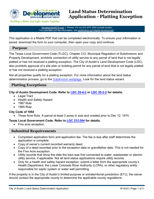
This document is for obtaining administrative approval for vacation of a partial plat in the City of Austin, Texas.
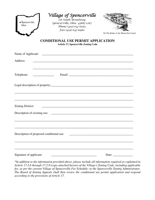
This document is for applying for a conditional use permit in the Village of Spencerville, Ohio. A conditional use permit allows for certain land uses that may not be typically allowed in a specific zoning district.
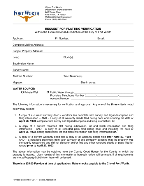
This document is used to request verification of platting within the extraterritorial jurisdiction of the City of Fort Worth, Texas.
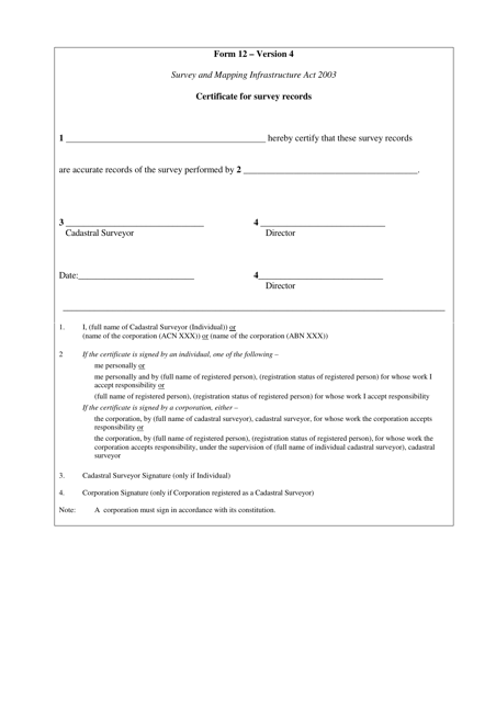
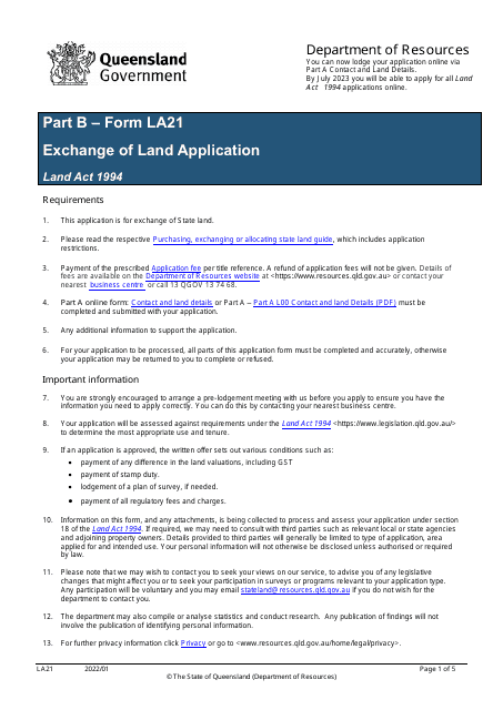
This document is a certificate for survey records in the state of Queensland, Australia. It is used to verify the accuracy and validity of survey information.
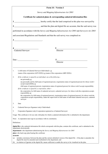
This Form is used to obtain a certificate for cadastral plans and corresponding cadastral information files in Queensland, Australia. It helps in accessing specific information related to land boundaries and ownership.
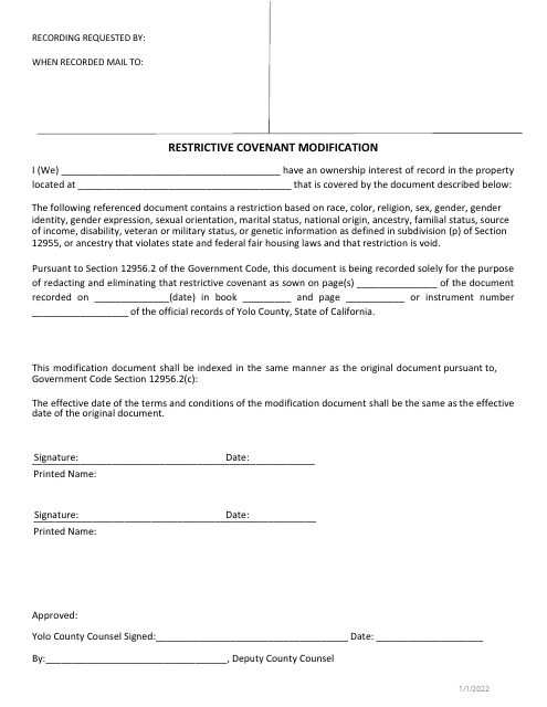
This document is used for modifying restrictive covenants in Yolo County, California.
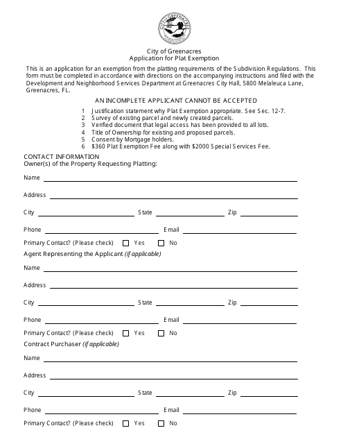
This document is used for applying for a plat exemption in the City of Greenacres, Florida. It is a form that allows individuals or organizations to request an exemption from the typical requirement to submit a plat for a development project.
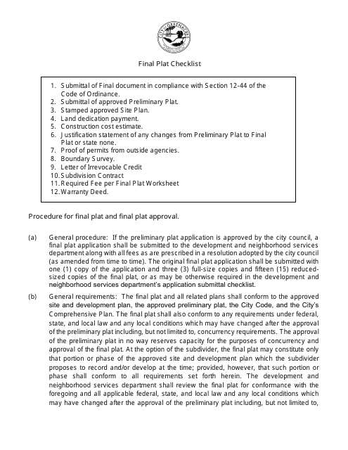
This document is a checklist used by the City of Greenacres in Florida for the final plat approval process. It aids in ensuring that all necessary requirements have been met before finalizing the subdivision of land for development.
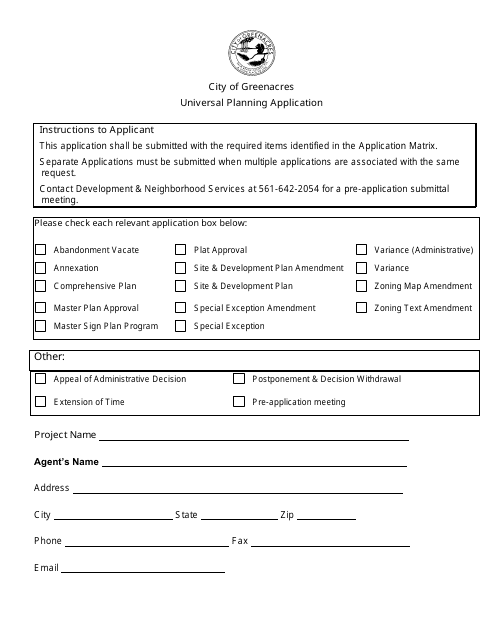
This document is a Universal Planning Application form that is used by residents and businesses in the City of Greenacres, Florida to submit planning applications for various purposes such as land development, zoning changes, and building permits.
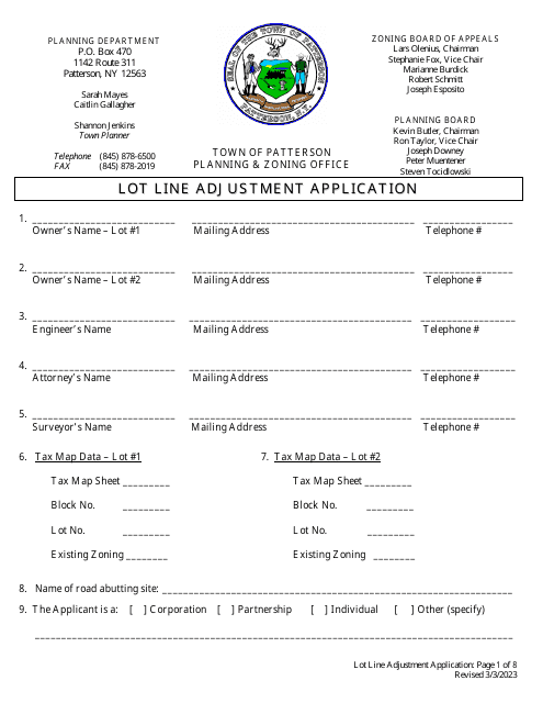
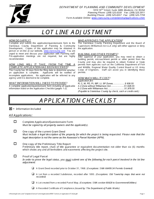
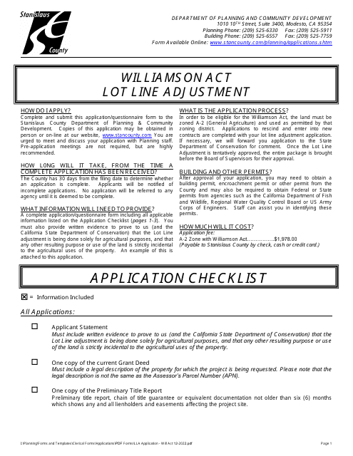
This document is for applying for a lot line adjustment in Stanislaus County, California. It is used to modify property boundaries.
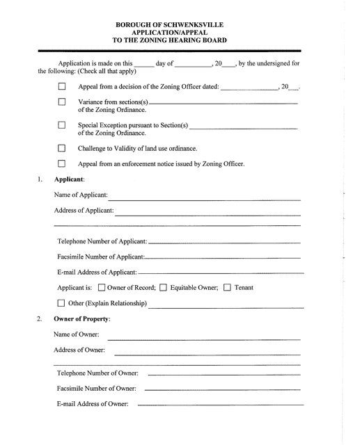
This document is used for submitting an application or appeal to the Zoning Hearing Board in Schwenksville Borough, Pennsylvania.
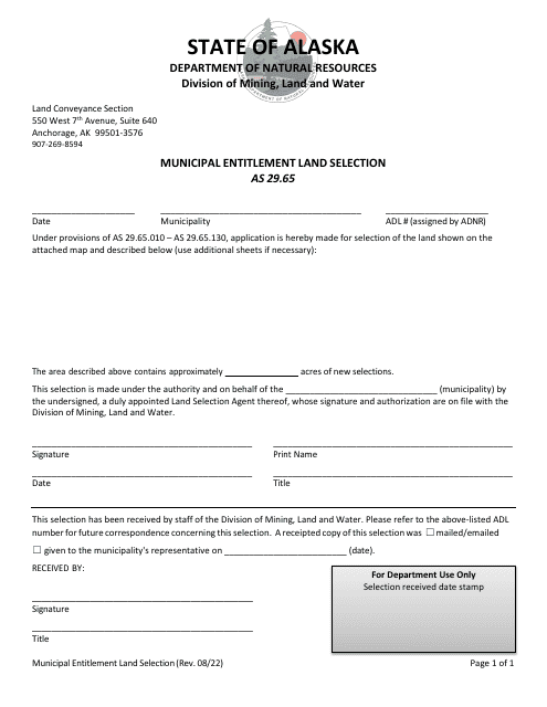
This form is used for selecting land entitlements in municipalities in Alaska.
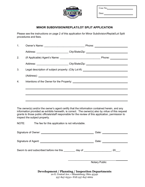
This document is used for applying for a minor subdivision, replat, or lot split in the City of Miamisburg, Ohio.
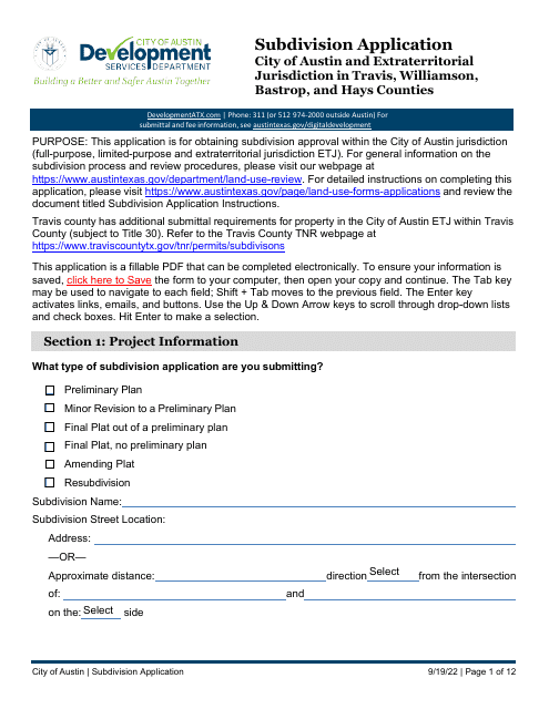
This document provides instructions on how to submit a subdivision application to the City of Austin, Texas. It includes information on the necessary forms and requirements.
This Form is used for applying for a boundary amendment of an existing Florida Forever project in Florida. It allows individuals or organizations to request changes to the designated boundaries of a project under the Florida Forever program, which aims to conserve and protect environmentally significant lands in the state.

