Land Development Templates
Documents:
209
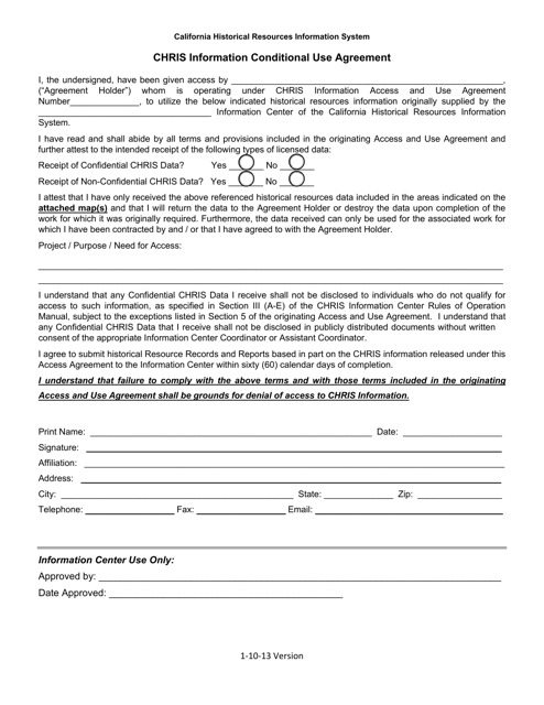
This document is used for obtaining conditional use agreements in California. It provides information about Chris and his specific requirements for using a property.
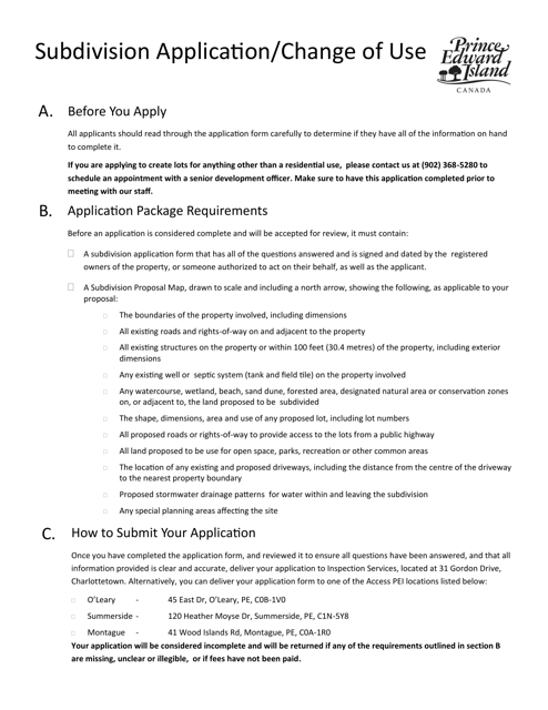
This form is used for applying for subdivision of land or changing the use of an existing property in Prince Edward Island, Canada.
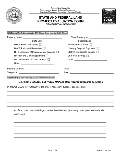
This document is used to evaluate projects on state and federal lands in New Hampshire. It helps ensure that projects are in compliance with regulations and guidelines.
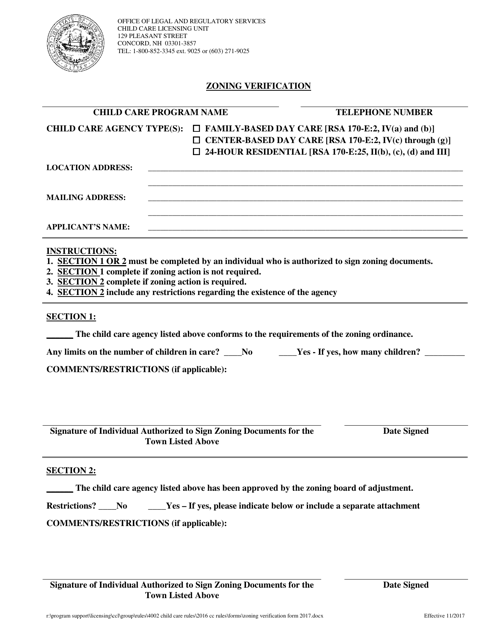
This document is used to verify the zoning regulations for a property located in New Hampshire. It provides information on land use restrictions, building codes, and other zoning requirements.
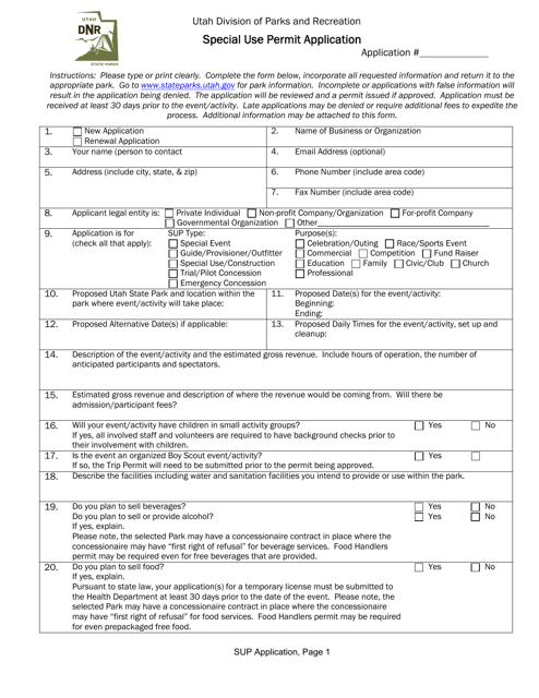
This document is used to apply for a special use permit in Utah.
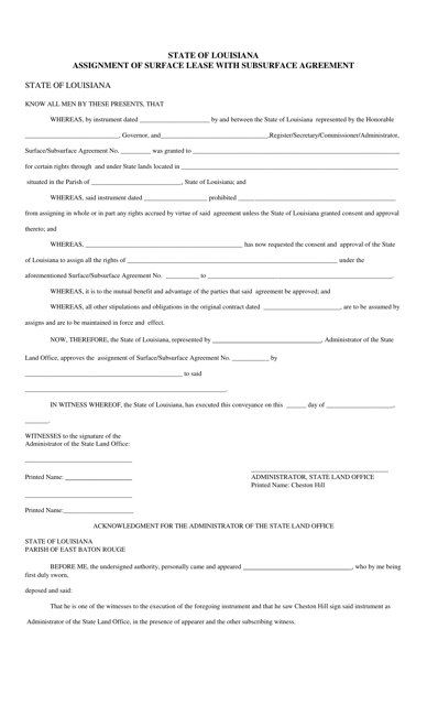
This document assigns a surface lease with a subsurface agreement in the state of Louisiana. It transfers the rights and responsibilities of the lease from one party to another.
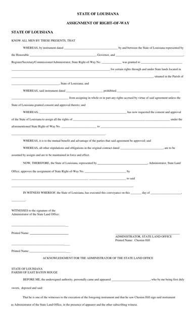
This document is used for the assignment of the right-of-way in the state of Louisiana. It is a legal agreement that transfers the rights to use a designated area for a specific purpose, such as constructing or accessing a road or pipeline.
This document is a lease agreement used in Louisiana for the exploration and development of oil or gas resources on both the surface and subsurface of a property.
This document provides supplemental information for the State 404 Program General Permits in Florida. It includes additional details and requirements for obtaining these permits.
This form is used for notifying the authorities in Florida about any disturbances that may occur during the process of reclamation.
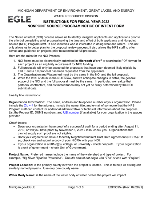
This form is used for submitting a Notice of Intent for the Nonpoint Source Program in Michigan. It provides instructions for completing the form and submitting it to the appropriate agency.
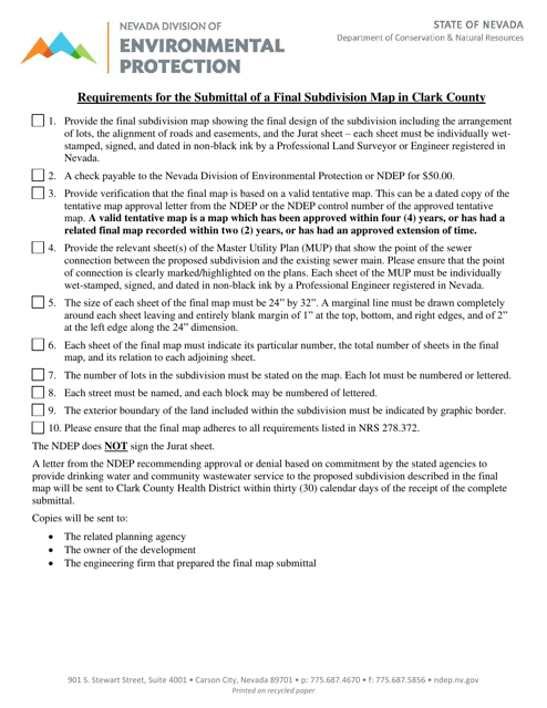
This document provides the requirements for submitting a final subdivision map in Clark County, Nevada. It outlines the necessary steps and information needed to complete the process.
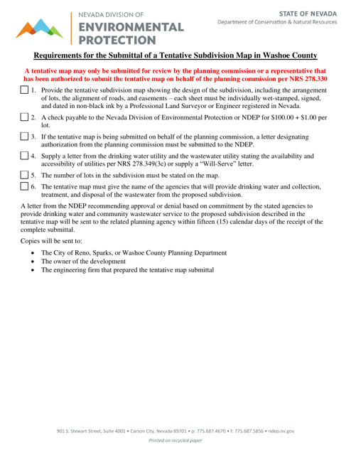
This document provides the requirements for submitting a tentative subdivision map in Washoe County, Nevada. It outlines the necessary information and procedures for obtaining approval for subdivision development.
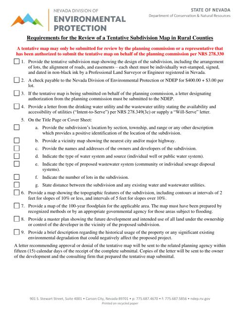
This document outlines the requirements for reviewing a tentative subdivision map in rural counties of Nevada. It provides guidance on the necessary steps and criteria to be met for the subdivision map to be approved.
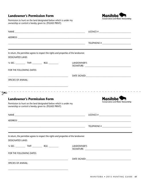
This Form is used for obtaining permission from a landowner in Manitoba, Canada. It is necessary for activities such as hunting, camping, or using private property for recreational purposes.
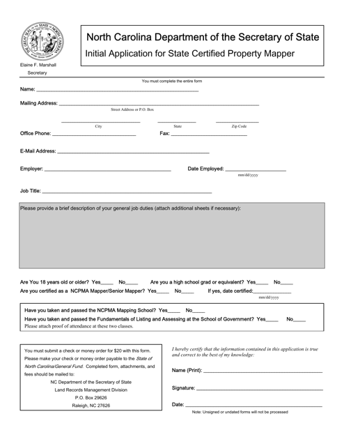
This document is used to apply for certification as a property mapper in the state of North Carolina. It is the initial application for individuals interested in becoming certified in this field.
This Form is used for obtaining a Land Use Compatibility Statement (LUCS) in the state of Oregon. A LUCS is a document that assesses the compatibility of a proposed land use with the surrounding area and existing land use regulations.
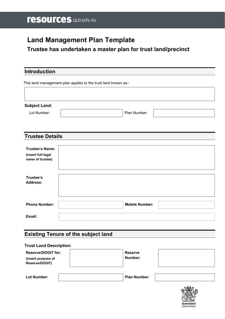
This document is a Land Management Plan Template with a Master Plan specifically for the region of Queensland, Australia. The template serves as a guide for managing and strategizing land use in Queensland, helping to ensure sustainable development and conservation efforts.
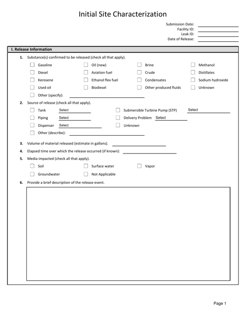
This document provides initial site characterization information for locations in West Virginia. It includes details about the site's characteristics, such as geological and environmental factors, to aid in assessments and decision-making processes.
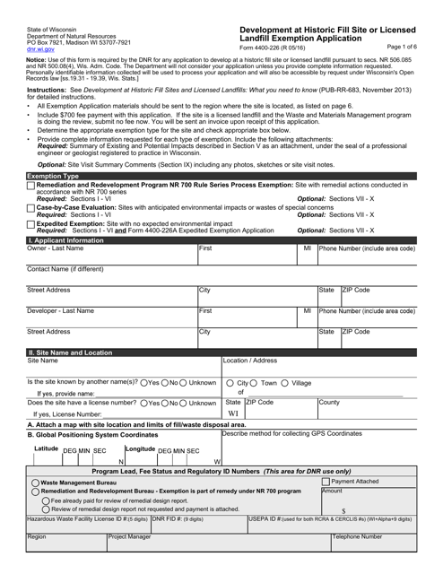
This form is used for applying for an exemption for development at a historic fill site or licensed landfill in Wisconsin. It is required for verifying compliance with environmental regulations.
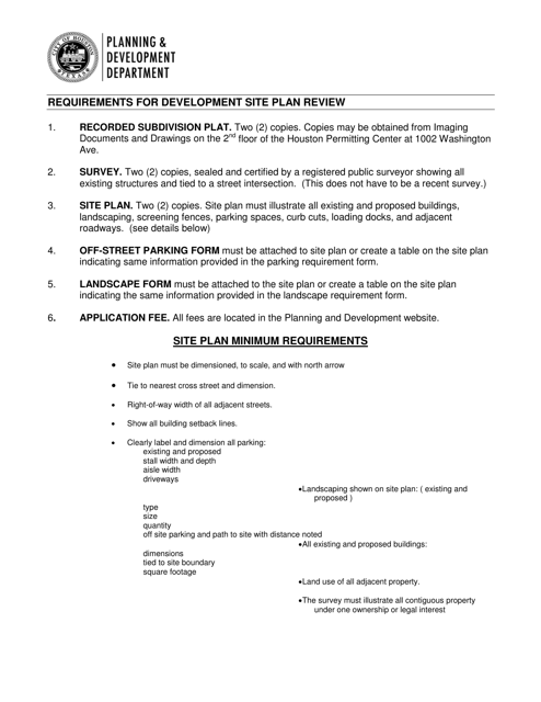
This type of document is used for reviewing and evaluating site plans for development in the City of Houston, Texas. It involves assessing the proposed development project and ensuring it complies with city regulations and requirements.
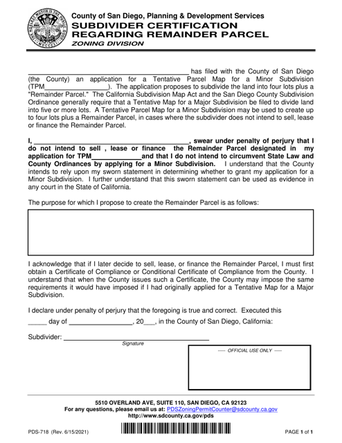
This form is used for subdivider certification regarding a remainder parcel in the County of San Diego, California.
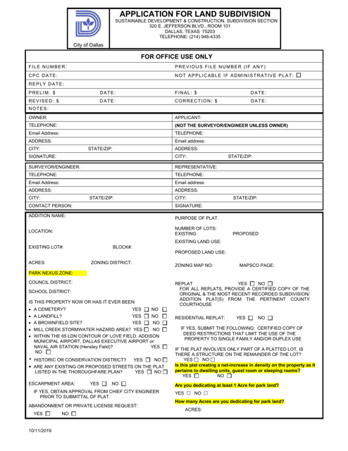
This document is an application form for requesting permission to subdivide land in the City of Dallas, Texas.
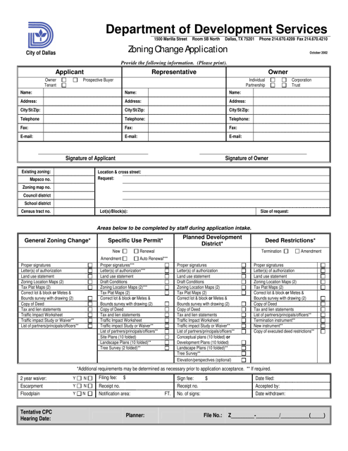
This document is used for applying for a zoning change in the City of Dallas, Texas. It allows individuals or businesses to request a modification to the existing zoning regulations for a specific property or area.
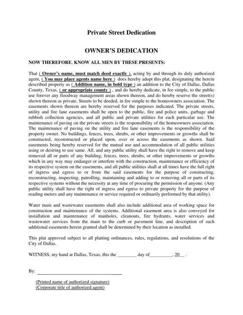
This document is for private street dedication in the City of Dallas, Texas. It outlines the process and requirements for dedicating a private street for public use.
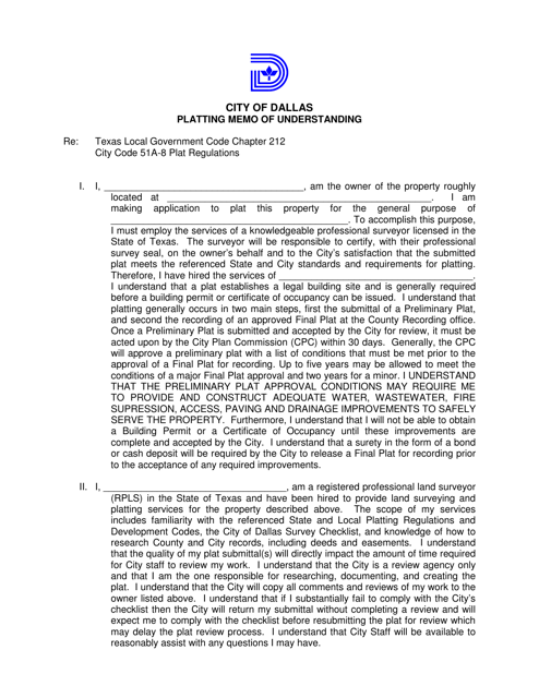
This document is a memo of understanding specific to the City of Dallas, Texas. It outlines the terms and agreement between parties involved in land platting.
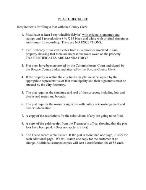
This document is a checklist specific to Bosque County, Texas. It is used for keeping track of tasks and items related to property maintenance or moving in the county.
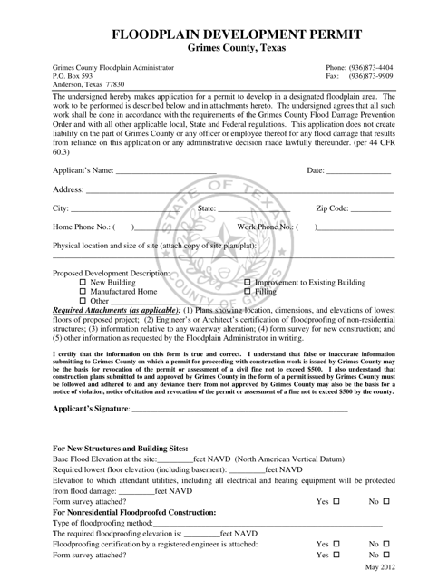
This document is for obtaining a Floodplain Development Permit in Grimes County, Texas.
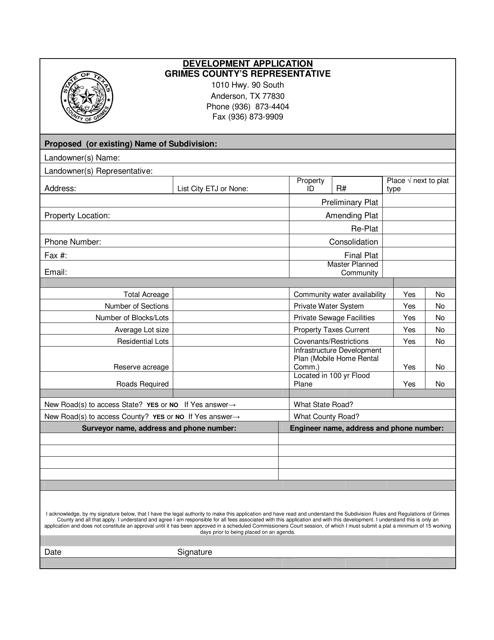
This document is for submitting a subdivision development application in Grimes County, Texas. It provides guidelines and requirements for developing a subdivision in the county.
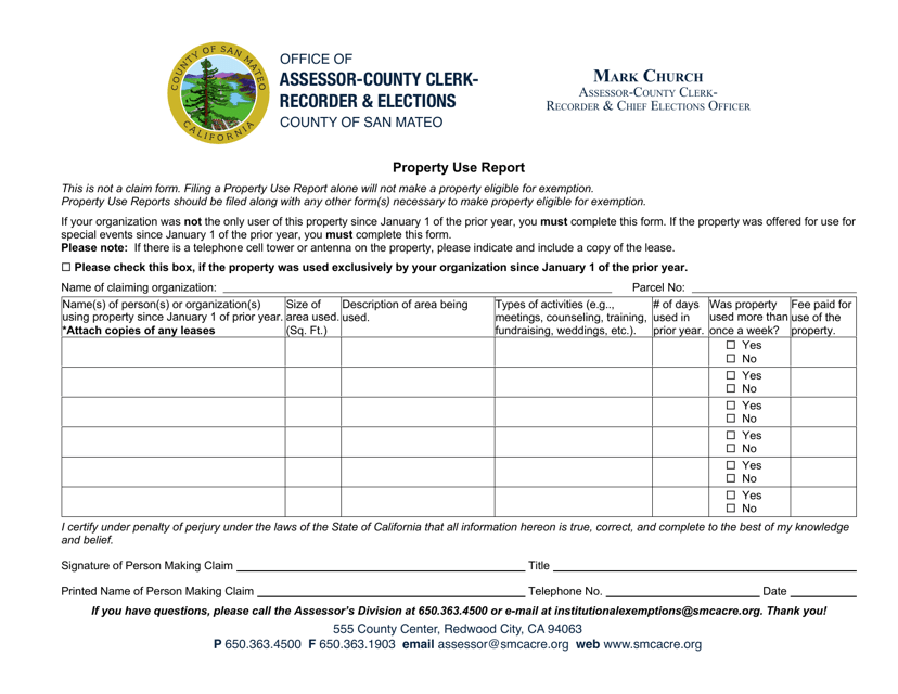
This document provides a report on the use of properties in San Mateo County, California. It gives information about how the properties are being used and can be useful for research or planning purposes.
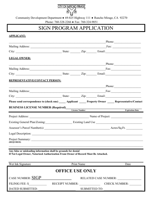
This Form is used for applying to participate in the sign program offered by the City of Rancho Mirage, California. The sign program allows businesses and individuals to display signs in accordance with city regulations.
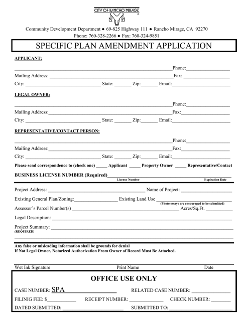
This document is used for submitting a specific plan amendment application to the City of Rancho Mirage, California. It is a formal request to modify an existing specific plan in the city.
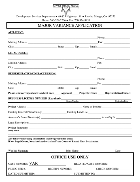
This document is used for applying for a major variance in the City of Rancho Mirage, California. A major variance allows for an exception or modification to be made to the existing regulations or guidelines for a specific property or project.
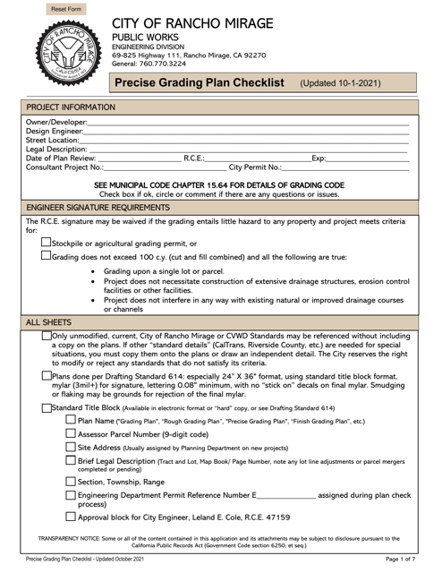
This document provides a checklist for the precise grading plan in the City of Rancho Mirage, California.
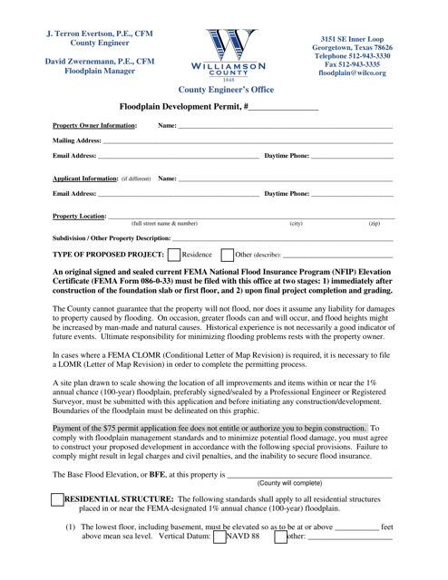
This document is a Floodplain Development Permit specific to Williamson County, Texas. It is required for any development within designated floodplain areas in the county. The permit ensures that all construction meets necessary regulations to protect against potential flood hazards.

