Free Map Templates
Map Template: What Is It?
A Map Template refers to a graphic representation of the earth's surface that shows the geographical features of a certain city, state, region, or the entire world. Whatever the scale is, this instrument has been invaluable to people that want to dive deep into geography, see how different elements of the map relate to one another, or build a route for a future trip.
Maps are also often used as conceptual diagrams to demonstrate the relationship between various ideas and point out how they can be compared - whether you are researching different topics and trying to figure out how to connect them in your mind or making visual aids to support your upcoming speech, a Map will help you to understand the matter better and teach others the insights you have discovered.
For a full list of Map templates please check out our library below.
Map Template Types
-
A World Map Template showcases the entire surface of the planet we live on - it includes continents, oceans, seas, and islands and indicates internationally recognized borders between different countries. You may use this tool to learn more about the states and their capitals, memorize flags and other symbols associated with particular countries, add images that show what animals and plants can be found in a certain region, spot patterns that have a positive or negative impact on the environment or population of a geographical area, or find the distance between the locations you are interested in as you are planning your journey;
-
Concept Map Template. If you are a student or your work is based on continuous research and analysis of complicated and challenging topics, you should identify those concepts with a help of an illustration you create from scratch - for instance, a chapter in your textbook may refer to several scientists that had different approaches when it came to the same issue which is why it will be helpful to draw a map with circles, triangles, and arrows that show how these ideas correlate and what the difference between them is. Moreover, a tool you implement in your exploration will let you structure the information you learn and prepare for an important examination or verbal report.
Still looking for a particular template? Take a look at the related templates below:
Documents:
11
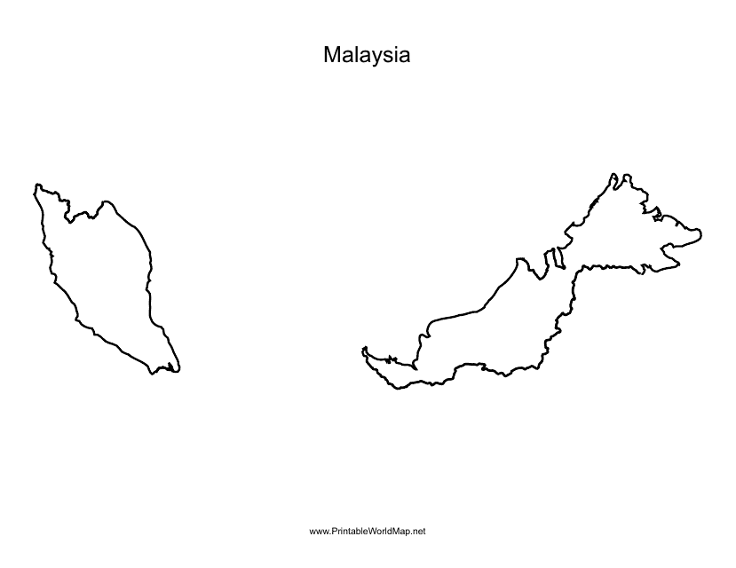
This document is a Malaysia map template that can be used for various purposes like educational projects, presentations, or designing custom maps.
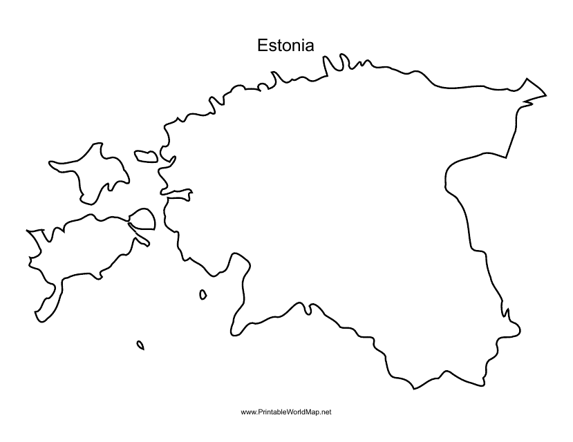
This document is a template of a map of Estonia, which can be used for various purposes such as educational, informational, or creative projects. The template provides a visual representation of the geographic features and boundaries of Estonia.
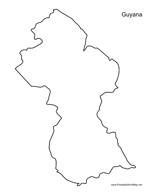
This document provides a template of the map of Guyana. Use it for educational purposes or to create custom maps related to Guyana.
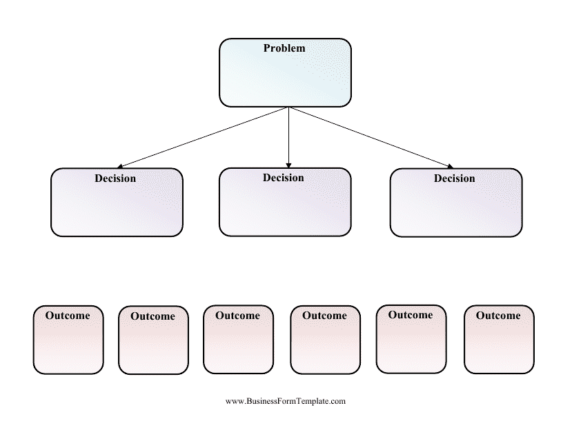
This document is a template for creating decision trees. A decision tree is a graphical representation of possible solutions or courses of action to make informed decisions. Use this blank template to organize and map out various decision options and their outcomes.
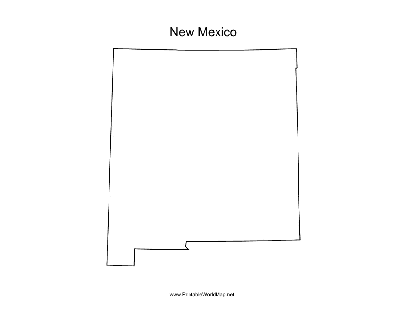
This form is used for creating a map of New Mexico. Easily customize the map with markers, labels, and other elements to suit your needs. Perfect for educational projects or planning your next trip to the Land of Enchantment.
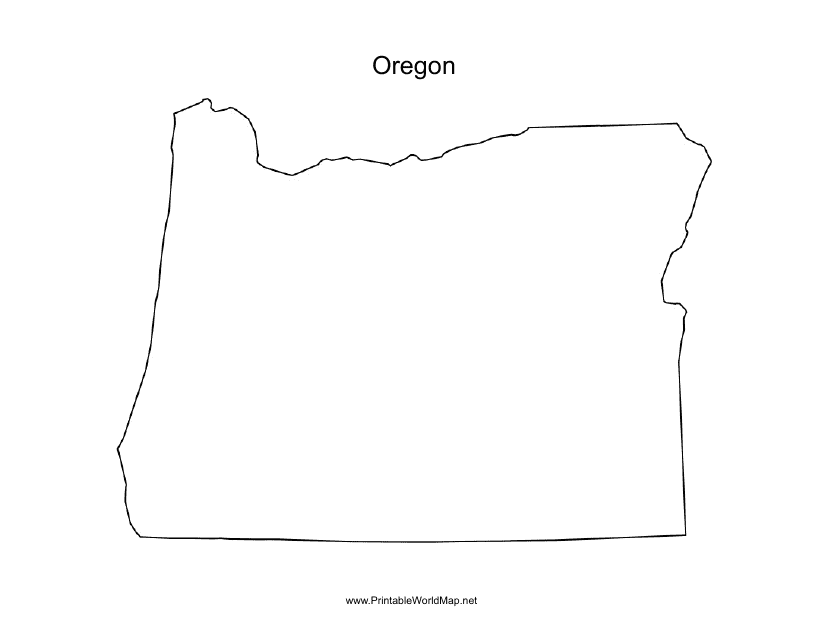
This document is a template for creating maps of Oregon. It can be used for various purposes such as educational projects, tourism guides, or urban planning.
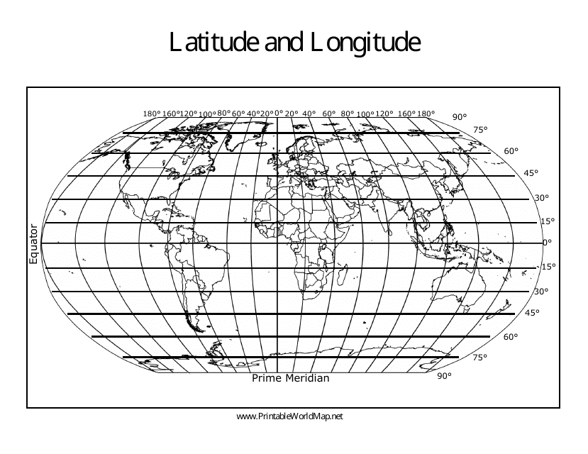
This type of document is a template that displays a world map with longitude and latitude lines. It can be used for educational purposes or for navigation.
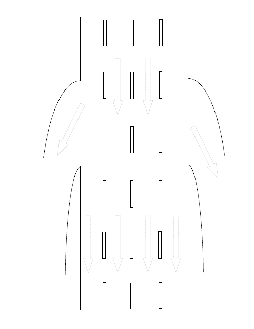
This document provides a template for creating an accident sketch on a four-lane highway exit. It can be used as a roadmap to accurately depict the scene of an accident.
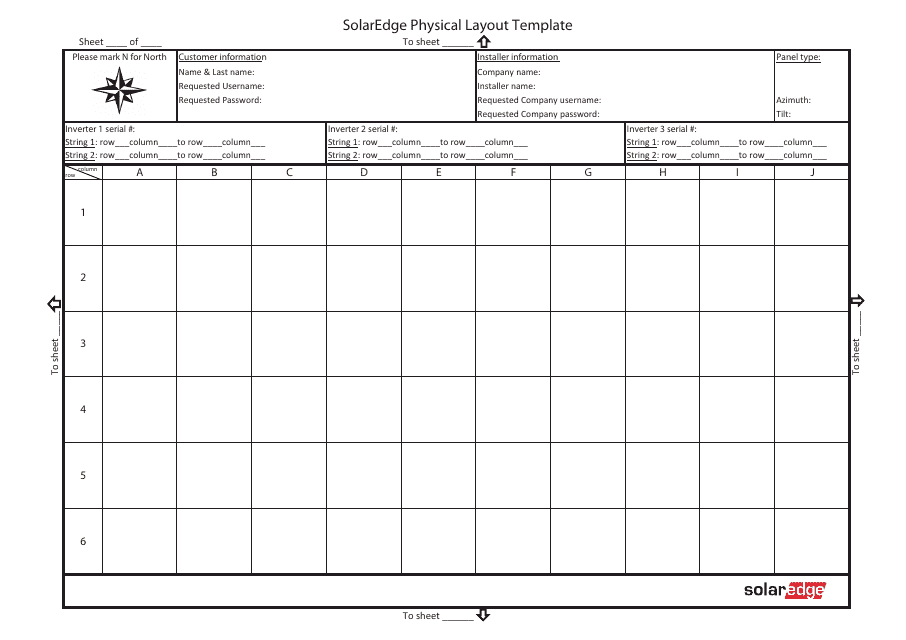
This document is a template for the physical layout of a Solaredge system. It provides a visual representation of how the system components should be arranged.

