Property Survey Templates
A property survey is an essential step in any real estate transaction or development project. This comprehensive document collection provides an in-depth analysis of a property's condition, boundaries, and characteristics. By conducting a property survey, potential buyers, homeowners, and developers can gather vital information to make informed decisions.
Also known as a land survey, cadastral survey, or boundary survey, a property survey includes a wide range of documents that assess various aspects of a property. These documents may include Joint Survey and Inspection forms for government-leased property, Condition Survey Reports, and certificates for survey records.
Property surveys play a crucial role in determining property boundaries, identifying any encroachments or easements, and highlighting topographical features. These surveys help ensure that buyers and developers have a clear understanding of the property they are acquiring, minimizing risks and avoiding legal disputes in the future.
Whether you are looking to purchase a new home, develop a commercial property, or settle a boundary dispute, our property survey collection offers a wealth of information. These documents adhere to local regulations and standards, ensuring accuracy and reliability.
With our property survey collection, you can gain a comprehensive understanding of a property's characteristics, allowing you to make informed decisions about its potential use and value. Trust our extensive document knowledge system to provide you with the insights you need for your next real estate venture.
Documents:
17
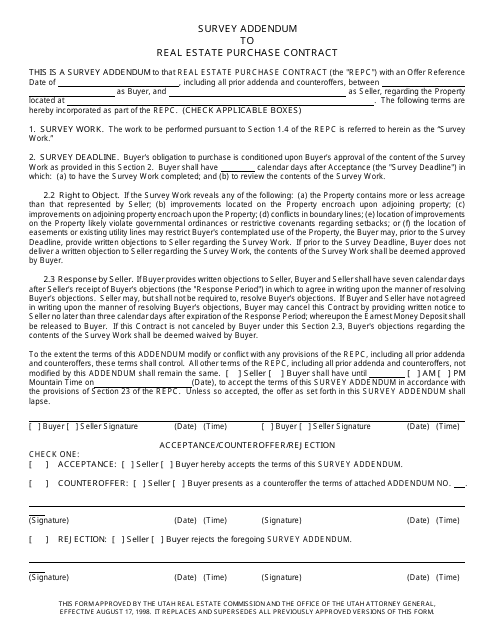
This document is an addendum to a real estate purchase contract in Utah. It is used to gather additional information through a survey.
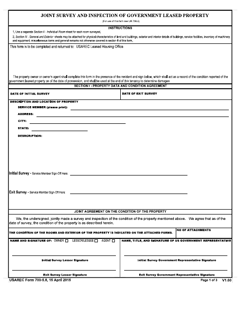
This document is used for conducting joint surveys and inspections of government leased property.
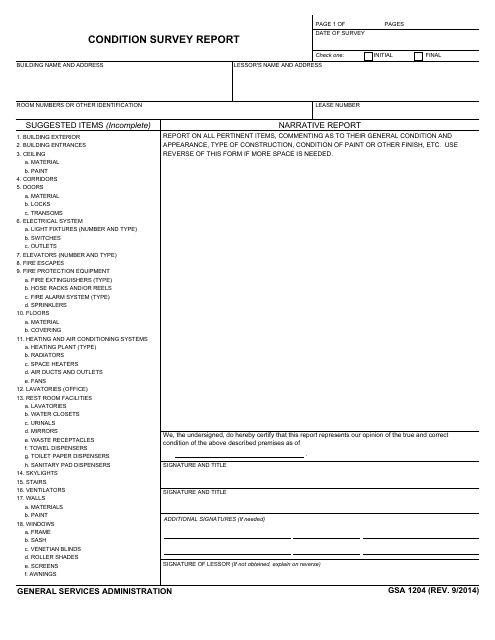
This document is used by the General Services Administration (GSA) to assess the condition of a property or asset. It includes a detailed report on the current condition and any necessary repairs or maintenance needed.
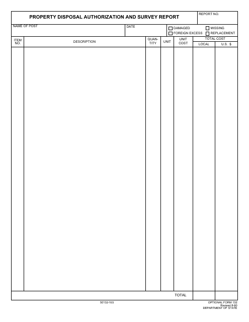
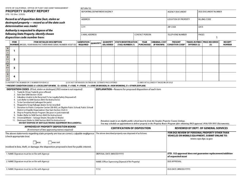
This form is used for authorizing the disposal of property and conducting a survey report. It allows for the proper documentation and oversight of property disposal activities.
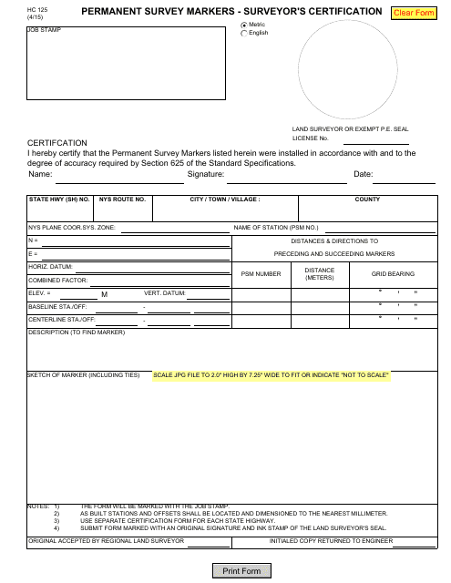
This Form is used for the surveyor's certification of permanent survey markers in the state of New York.
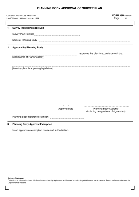
This form is used for obtaining approval from the planning body in Queensland, Australia for a survey plan.
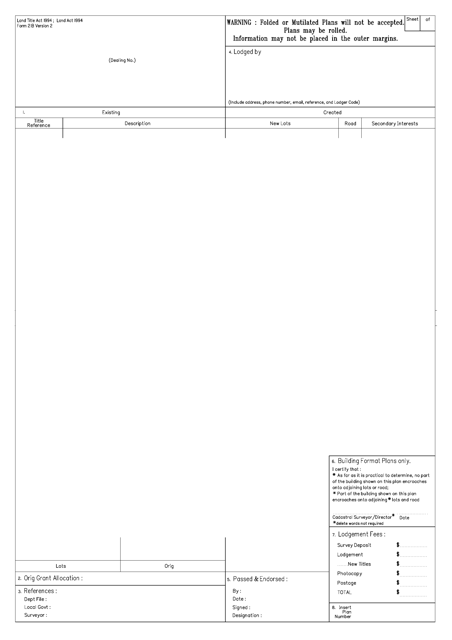
This form is used for creating a plan of survey in the state of Queensland, Australia. It is required to accurately record and document detailed information about a piece of land, including its boundaries, measurements, and other relevant features.
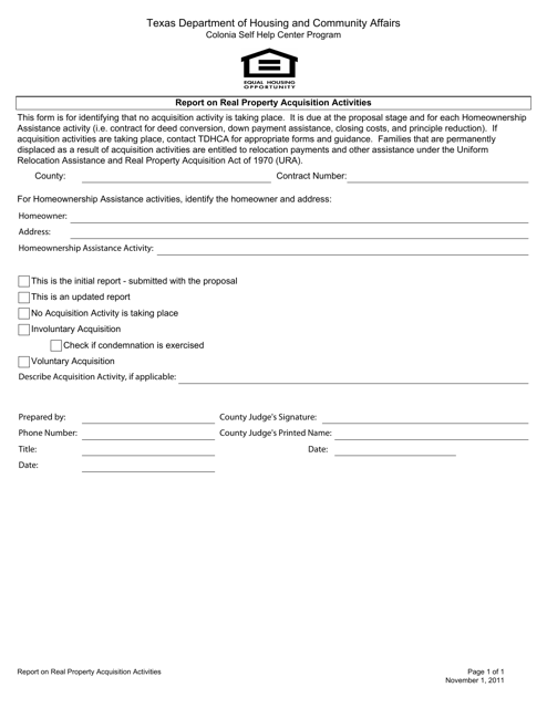
This document provides a report on real property acquisition activities in the state of Texas. It includes information on the acquisition process, properties acquired, and any relevant updates or changes.
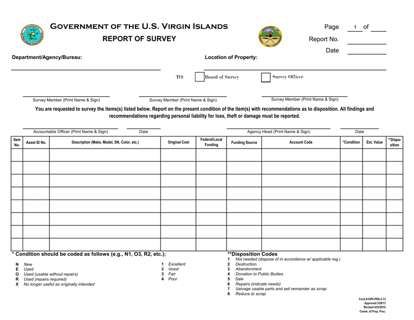
This form is used for reporting surveys in the Virgin Islands.
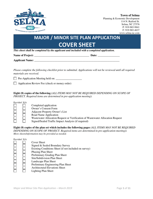
This document is used for submitting a major or minor site plan application to the Town of Selma, North Carolina. It outlines the proposed development plans and ensures compliance with local regulations.
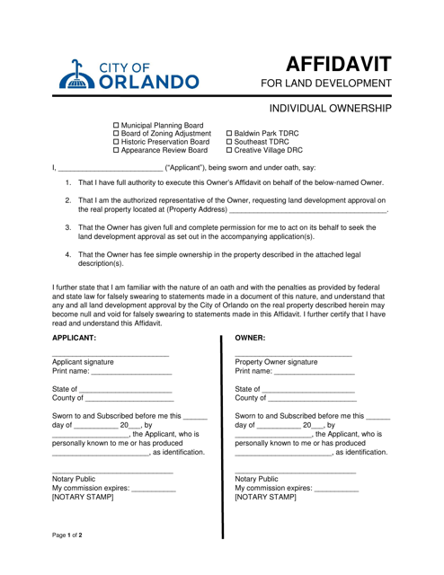
This document is used for individuals in Orlando, Florida who own land and need to provide a sworn statement related to land development.
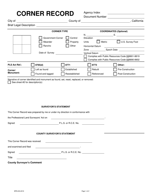
This Form is used for documenting the location and details of property corners in California. It is required for property surveys and can help settle disputes over property boundaries.
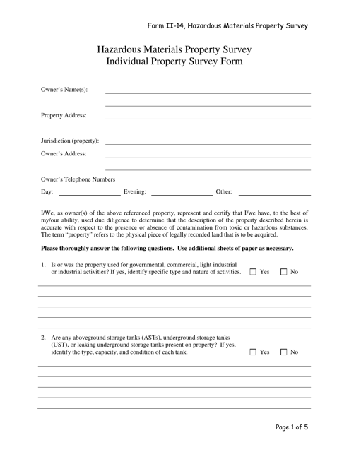
This form is used for conducting a survey on hazardous materials properties. It helps to identify and assess potential hazards associated with different types of materials.
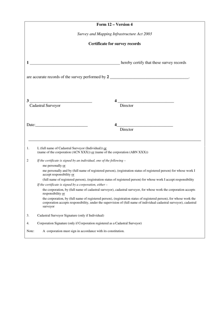
This document is a certificate for survey records in the state of Queensland, Australia. It is used to verify the accuracy and validity of survey information.
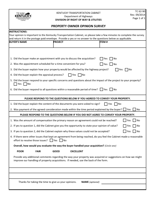
This form is used for conducting a property owner opinion survey in the state of Kentucky. It is a tool for collecting feedback and opinions from property owners in the area.

