Land Planning Templates
Are you looking to develop or manage a piece of land? Our comprehensive collection of documents on land planning is here to help you. Whether you need to submit a land application form, obtain planning body approval for a survey plan, evaluate a state or federal land project, create a land management plan, or complete a checklist for parcel maps and tract maps, we have you covered.
Our land planning documents will guide you through the necessary processes and procedures involved in land development and management. From filling out application forms to obtaining approvals and drafting comprehensive plans, our collection provides you with the resources needed to ensure successful land planning.
Also known as land application forms, land management plans, or even parcel maps and tract maps checklists, our documents cover a wide range of land planning activities. Regardless of the location or specific requirements, our collection offers a variety of templates, forms, and guidelines that can be tailored to meet your unique needs.
With our extensive collection of land planning documents, you can save time and effort by having everything you need in one place. Don't waste valuable resources searching for information or drafting documents from scratch. Instead, rely on our proven collection to streamline your land planning process and achieve your goals swiftly and efficiently.
Choose our land planning documents collection to ensure that your land development or management project is executed effectively and efficiently. Start your journey towards successful land planning today!
Documents:
21
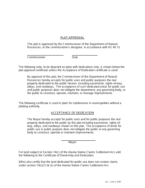
This document is used for approving plats and includes a legend specific to the state of Alaska.
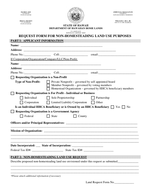
This form is used for requesting non-homesteading land use purposes in Hawaii.
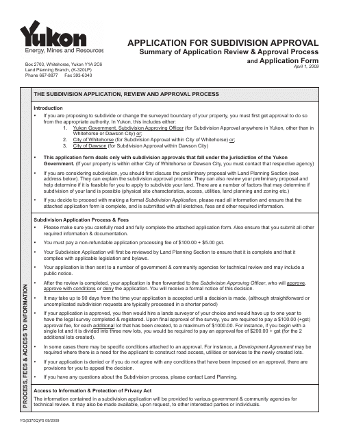
This Form is used for applying for subdivision approval in Yukon, Canada.
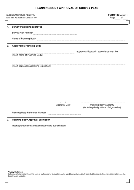
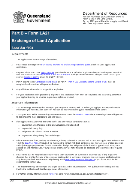
This form is used for obtaining approval from the planning body in Queensland, Australia for a survey plan.
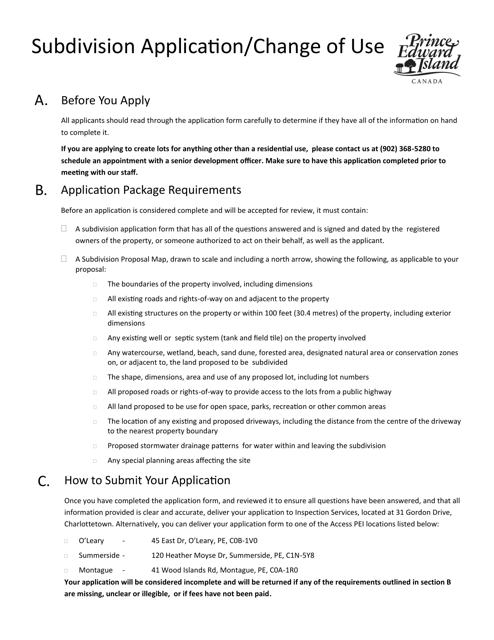
This form is used for applying for subdivision of land or changing the use of an existing property in Prince Edward Island, Canada.
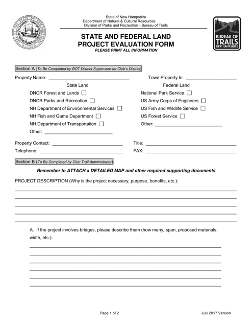
This document is used to evaluate projects on state and federal lands in New Hampshire. It helps ensure that projects are in compliance with regulations and guidelines.
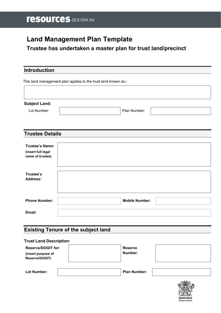
This document is a Land Management Plan Template with a Master Plan specifically for the region of Queensland, Australia. The template serves as a guide for managing and strategizing land use in Queensland, helping to ensure sustainable development and conservation efforts.
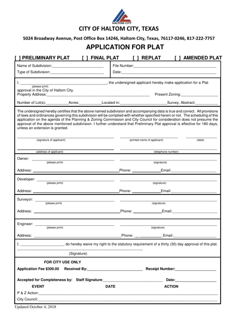
This document is an application for a plat in Haltom City, Texas. It is used by individuals or companies who wish to establish a new plat or make changes to an existing plat in Haltom City.
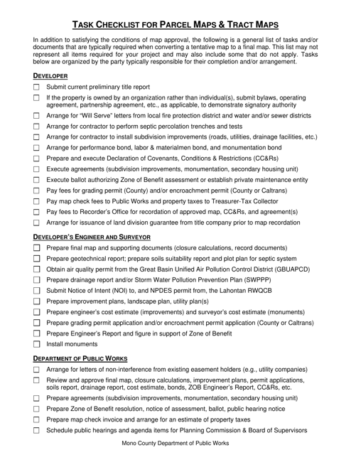
This document is a task checklist specifically for Parcel Maps and Tract Maps in Mono County, California. It provides a detailed list of tasks and steps to be followed in the process of creating and maintaining these types of maps in the county.
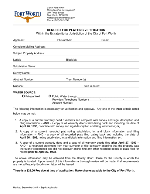
This document is used to request verification of platting within the extraterritorial jurisdiction of the City of Fort Worth, Texas.
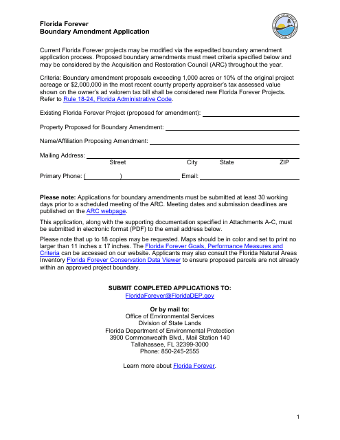
This Form is used for applying for a boundary amendment of an existing Florida Forever project in Florida. It allows individuals or organizations to request changes to the designated boundaries of a project under the Florida Forever program, which aims to conserve and protect environmentally significant lands in the state.
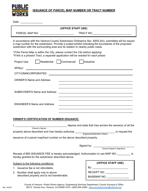
This document is used for obtaining a parcel map number or tract number from the County of Ventura, California.
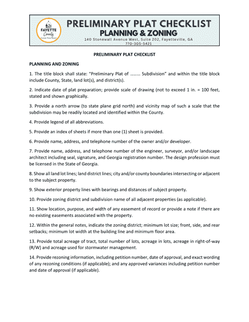
This document is a checklist used in Fayette County, Georgia, United States for reviewing preliminary plats. It helps ensure that all necessary requirements and criteria are met before approving a proposed land subdivision.
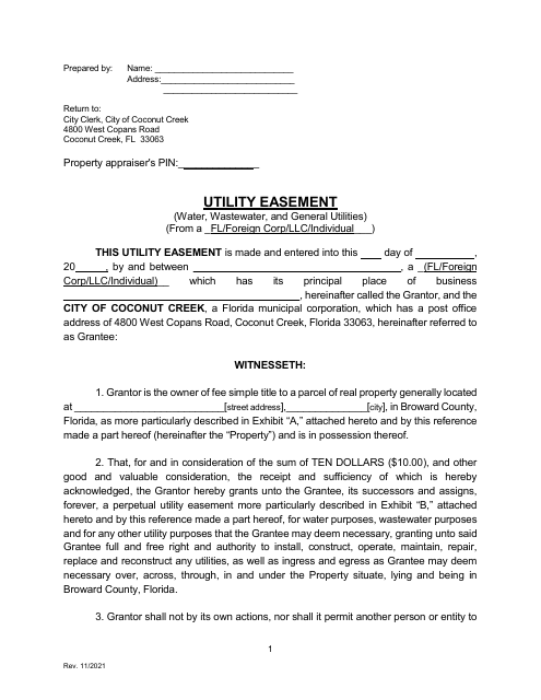
This Form is used for granting the City of Coconut Creek, Florida the right to use private property for utility purposes.

