Parcel Maps Templates
Are you looking for accurate and up-to-date parcel maps for your property? Look no further! Our comprehensive collection of parcel maps, also known as parcel map or land map, provides detailed information about land boundaries, property lines, and ownership. These maps are an essential resource for homeowners, real estate professionals, and land developers alike.
Our parcel maps serve as a valuable tool for a wide range of purposes. Whether you need to determine the exact boundaries of your property, assess its value, or plan a construction project, our collection of parcel maps has you covered. With our user-friendly interface, you can easily navigate through a vast database of parcel maps from various regions across the country.
With our parcel maps, you can gain insights into property characteristics such as lot size, zoning, and proximity to nearby amenities. This information is crucial when making informed decisions about buying or selling real estate, ensuring compliance with local regulations, or exploring potential development opportunities. Our parcel maps provide the clarity and accuracy you need to make confident and well-informed decisions.
We understand that accessing reliable parcel maps can be a complex and time-consuming process. That's why we have simplified the search and retrieval process to save you both time and effort. Our user-friendly platform allows you to search for parcel maps by location, address, or assessor's parcel number (APN). This streamlined approach ensures that you can quickly find the information you need, whenever you need it.
Trust our comprehensive collection of parcel maps to provide you with the accurate and reliable information you need. Start exploring our extensive database today and unlock the power of parcel maps for your property-related needs.
Note:
Documents:
10
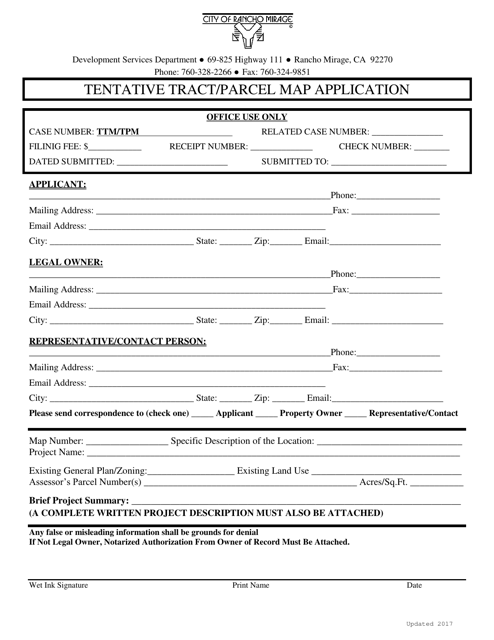
This document is used for submitting a tentative tract/parcel map application to the City of Rancho Mirage, California.
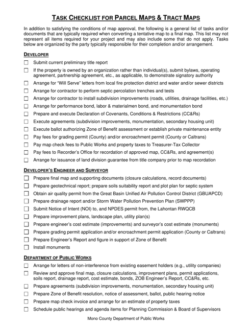
This document is a task checklist specifically for Parcel Maps and Tract Maps in Mono County, California. It provides a detailed list of tasks and steps to be followed in the process of creating and maintaining these types of maps in the county.
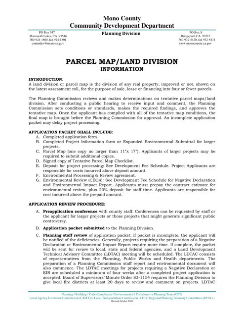
This document is an application form for the land division and parcel map in Mono County, California. It is used to apply for the legal subdivision of land and the creation of new parcels within the county.
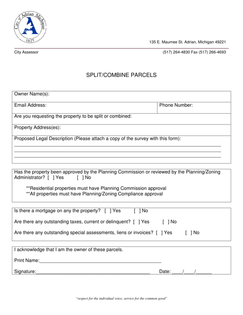
This document is for residents in the City of Adrian, Michigan who want to split or combine parcels of land. It provides information on the process and requirements for doing so.
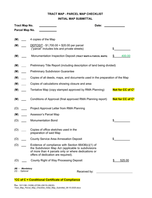
This document is a checklist for the initial submission of a tract map or parcel map to the County of Ventura, California. It provides a list of the required documents and information needed for the map to be reviewed and approved by the county.
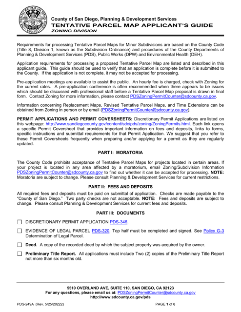
This document is an applicant's guide for Form PDS-249A Tentative Parcel Map in the County of San Diego, California. It provides information and instructions for completing the form.
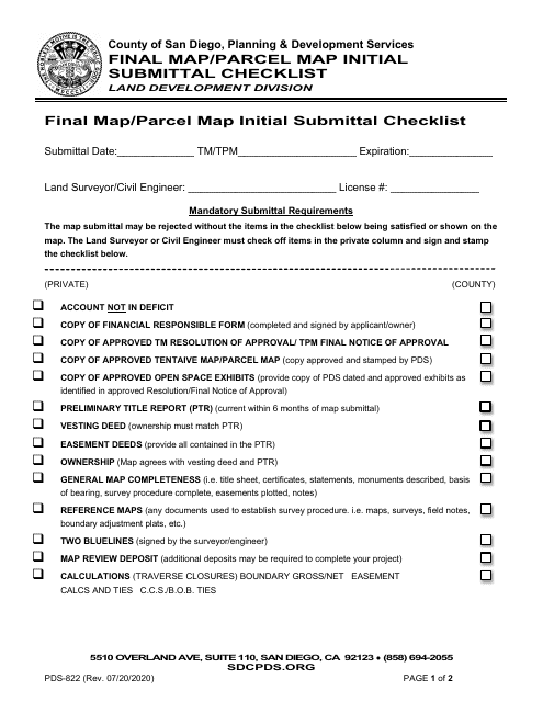
This form is used for the initial submittal of a final map or parcel map in the County of San Diego, California. It serves as a checklist to ensure that all required documents and information are included with the submission.

